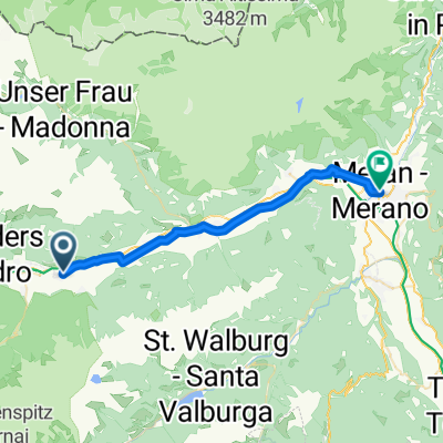
Latsch - Meran
- 27.1 km
- 296 m
- 273 m
- Latsch, Trentino-Alto Adige, Italy
A cycling route starting in Latsch, Trentino-Alto Adige, Italy.
Overview
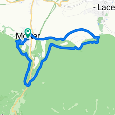
From Laces, follow the path to the ice stadium towards Törbrunn and from there to the Latscher Alm and further to the Tarscheralm
created this 16 years ago
Route highlights
Continue with Bikemap
You would like to ride Latscher - Tarscher - Alm or customize it for your own trip? Here is what you can do with this Bikemap route:
Free trial for 3 days, or one-time payment. More about Bikemap Premium.
Discover more Premium features.
Get Bikemap PremiumFrom our community
Open it in the app