Fryderyka Chopina 19A to Fryderyka Chopina
- 34.7 km
- 698 m
- 692 m
- Sobótka, Lower Silesian Voivodeship, Poland
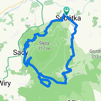
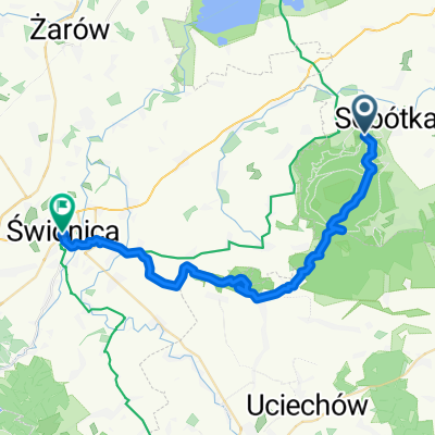
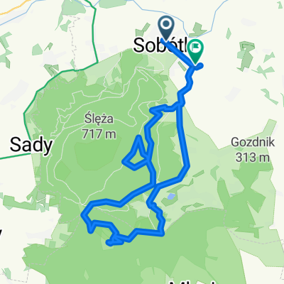
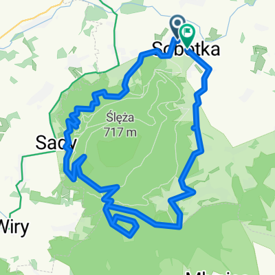
A cycling route starting in Sobótka, Lower Silesian Voivodeship, Poland.
Overview
created this 10 years ago
Route highlights

Continue with Bikemap
You would like to ride chujnia po dziurach or customize it for your own trip? Here is what you can do with this Bikemap route:
Free trial for 3 days, or one-time payment. More about Bikemap Premium.
Discover more Premium features.
Get Bikemap PremiumFrom our community
Open it in the app