stammheim, die 1.
- 58 km
- 1,165 m
- 1,250 m
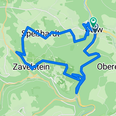
- Calw, Baden-Wurttemberg, Germany
A cycling route starting in Calw, Baden-Wurttemberg, Germany.
Overview
Stammheim - Althengstett - Ostelsheim - Dätzingen - Aidlingen - Gärtringen - Deckenpfronn Stammheim
created this 10 years ago
Route quality
Track
31.3 km
(75 %)
Quiet road
5 km
(12 %)
Paved
25.5 km
(61 %)
Unpaved
15 km
(36 %)
Asphalt
24.2 km
(58 %)
Gravel
7.5 km
(18 %)
Continue with Bikemap
You would like to ride Rund um Gechingen 42 km or customize it for your own trip? Here is what you can do with this Bikemap route:
Free trial for 3 days, or one-time payment. More about Bikemap Premium.
Discover more Premium features.
Get Bikemap PremiumFrom our community
Open it in the app