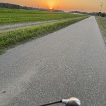
Sunday traning
- 37.3 km
- 99 m
- 98 m
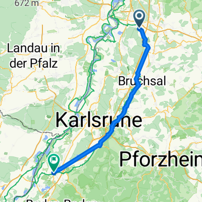
- Reilingen, Baden-Wurttemberg, Germany
A cycling route starting in Reilingen, Baden-Wurttemberg, Germany.
Overview
Always along the Rhine becomes very boring after 1 hour. Easy tour.
created this 10 years ago
Route quality
Track
36 km
(47 %)
Path
16.8 km
(22 %)
Paved
71.2 km
(93 %)
Unpaved
1.5 km
(2 %)
Asphalt
68.1 km
(89 %)
Paved (undefined)
1.5 km
(2 %)
Continue with Bikemap
You would like to ride Reilingen Speyer Karlsruhe or customize it for your own trip? Here is what you can do with this Bikemap route:
Free trial for 3 days, or one-time payment. More about Bikemap Premium.
Discover more Premium features.
Get Bikemap PremiumFrom our community
Open it in the app