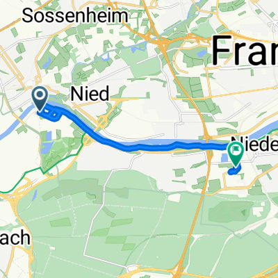
Rundweg um den Frankfurter Flughafen
A cycling route starting in Kelsterbach, Hesse, Germany.
Overview
About this route
Start ist am Parkplatz an der Westseite des Frankfurter Flughafens.
Vorbei an einer Aussichtplattform und entlang der Startbahn West führt der Weg über Mönchbruch nach Worfelden.
Zurück geht es über einen gut ausgebauten Fahrradweg entlang der Einflugschneise im Osten des Flughafens. Direkt vorbei an den Terminals im Norden, kommt man zurück zum Ausgangspunkt.
- -:--
- Duration
- 41.7 km
- Distance
- 116 m
- Ascent
- 107 m
- Descent
- ---
- Avg. speed
- 114 m
- Avg. speed
Route quality
Waytypes & surfaces along the route
Waytypes
Track
21 km
(50 %)
Path
12.5 km
(30 %)
Surfaces
Paved
18.2 km
(44 %)
Unpaved
21.7 km
(52 %)
Gravel
15.3 km
(37 %)
Asphalt
14.8 km
(35 %)
Route highlights
Points of interest along the route
Point of interest after 0.9 km
Aussichtsplattform an der Startbahn-West
Point of interest after 5.9 km
Mönchbruchweiher
Point of interest after 32.4 km
Landendes Flugzeug direkt am Flughafenzaun und an der A5
Continue with Bikemap
Use, edit, or download this cycling route
You would like to ride Rundweg um den Frankfurter Flughafen or customize it for your own trip? Here is what you can do with this Bikemap route:
Free features
- Save this route as favorite or in collections
- Copy & plan your own version of this route
- Sync your route with Garmin or Wahoo
Premium features
Free trial for 3 days, or one-time payment. More about Bikemap Premium.
- Navigate this route on iOS & Android
- Export a GPX / KML file of this route
- Create your custom printout (try it for free)
- Download this route for offline navigation
Discover more Premium features.
Get Bikemap PremiumFrom our community
Other popular routes starting in Kelsterbach
- Kleine Feierabendrunde
- Distance
- 46.2 km
- Ascent
- 380 m
- Descent
- 379 m
- Location
- Kelsterbach, Hesse, Germany
- schwanheim lauf
- Distance
- 9.5 km
- Ascent
- 39 m
- Descent
- 39 m
- Location
- Kelsterbach, Hesse, Germany
- Rüsselsheimer Str, Kelsterbach nach Frankfurter Straße 31, Offenbach am Main
- Distance
- 27.2 km
- Ascent
- 10 m
- Descent
- 14 m
- Location
- Kelsterbach, Hesse, Germany
- Leunabrücke Höchst nach Mainz
- Distance
- 28.3 km
- Ascent
- 31 m
- Descent
- 38 m
- Location
- Kelsterbach, Hesse, Germany
- Lavendelweg 13C, Kelsterbach nach Lavendelweg 13C, Kelsterbach
- Distance
- 62.8 km
- Ascent
- 457 m
- Descent
- 457 m
- Location
- Kelsterbach, Hesse, Germany
- From Frankfurt am Main to Saal an der Donau
- Distance
- 1,055 km
- Ascent
- 6,222 m
- Descent
- 6,196 m
- Location
- Kelsterbach, Hesse, Germany
- UniKlinik-FFM-Kelsterbach-LHS
- Distance
- 13.6 km
- Ascent
- 31 m
- Descent
- 34 m
- Location
- Kelsterbach, Hesse, Germany
- Lücki RR ins Ried 104km/286HM
- Distance
- 110.7 km
- Ascent
- 247 m
- Descent
- 248 m
- Location
- Kelsterbach, Hesse, Germany
Open it in the app