Robert's to College Ave
A cycling route starting in Moraga, California, United States of America.
Overview
About this route
Robert's Pool to College Ave via Skyline and Tunnel
- -:--
- Duration
- 14.8 km
- Distance
- 271 m
- Ascent
- 651 m
- Descent
- ---
- Avg. speed
- ---
- Avg. speed
Route quality
Waytypes & surfaces along the route
Waytypes
Busy road
8.5 km
(58 %)
Road
5.1 km
(34 %)
Surfaces
Paved
9.1 km
(62 %)
Asphalt
9.1 km
(62 %)
Undefined
5.7 km
(38 %)
Continue with Bikemap
Use, edit, or download this cycling route
You would like to ride Robert's to College Ave or customize it for your own trip? Here is what you can do with this Bikemap route:
Free features
- Save this route as favorite or in collections
- Copy & plan your own version of this route
- Sync your route with Garmin or Wahoo
Premium features
Free trial for 3 days, or one-time payment. More about Bikemap Premium.
- Navigate this route on iOS & Android
- Export a GPX / KML file of this route
- Create your custom printout (try it for free)
- Download this route for offline navigation
Discover more Premium features.
Get Bikemap PremiumFrom our community
Other popular routes starting in Moraga
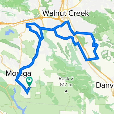
- Canyon/ Skyline Loop
- Distance
- 31.6 km
- Ascent
- 476 m
- Descent
- 474 m
- Location
- Moraga, California, United States of America
- Moraga to Berk
- Distance
- 19.3 km
- Ascent
- 562 m
- Descent
- 733 m
- Location
- Moraga, California, United States of America
- Moraga to Lafayette
- Distance
- 42 km
- Ascent
- 295 m
- Descent
- 365 m
- Location
- Moraga, California, United States of America
- LR: Regional Trails Pt 2
- Distance
- 4.8 km
- Ascent
- 226 m
- Descent
- 224 m
- Location
- Moraga, California, United States of America
- RR/Pine/Olympic/Danville
- Distance
- 31.7 km
- Ascent
- 206 m
- Descent
- 290 m
- Location
- Moraga, California, United States of America
- Grizzly Peak Century Tour South Loop
- Distance
- 60.5 km
- Ascent
- 1,282 m
- Descent
- 1,257 m
- Location
- Moraga, California, United States of America
- Moraga Lafayette Loop
- Distance
- 32.9 km
- Ascent
- 254 m
- Descent
- 262 m
- Location
- Moraga, California, United States of America
- Pinehurst Rd (hairpin - skyline)
- Distance
- 0.8 km
- Ascent
- 97 m
- Descent
- 25 m
- Location
- Moraga, California, United States of America
Open it in the app