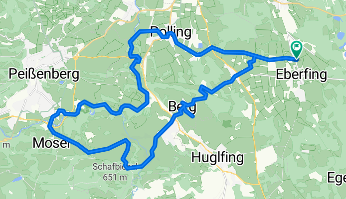
Polling-Peißenberg-Oberhausen
A cycling route starting in Huglfing, Bavaria, Germany.
Overview
About this route
Beautiful tour with views of the Alpine range.
Can be extended/shortened at will (depending on fitness or desire).
Bicycle route signage is excellent!
- -:--
- Duration
- 32.4 km
- Distance
- 176 m
- Ascent
- 176 m
- Descent
- ---
- Avg. speed
- ---
- Max. altitude
Route quality
Waytypes & surfaces along the route
Waytypes
Quiet road
16.5 km
(51 %)
Track
9.7 km
(30 %)
Surfaces
Paved
21.4 km
(66 %)
Unpaved
7.1 km
(22 %)
Asphalt
20.7 km
(64 %)
Gravel
4.9 km
(15 %)
Continue with Bikemap
Use, edit, or download this cycling route
You would like to ride Polling-Peißenberg-Oberhausen or customize it for your own trip? Here is what you can do with this Bikemap route:
Free features
- Save this route as favorite or in collections
- Copy & plan your own version of this route
- Sync your route with Garmin or Wahoo
Premium features
Free trial for 3 days, or one-time payment. More about Bikemap Premium.
- Navigate this route on iOS & Android
- Export a GPX / KML file of this route
- Create your custom printout (try it for free)
- Download this route for offline navigation
Discover more Premium features.
Get Bikemap PremiumFrom our community
Other popular routes starting in Huglfing
- Huglfing Runde
- Distance
- 35.8 km
- Ascent
- 160 m
- Descent
- 168 m
- Location
- Huglfing, Bavaria, Germany
- Huglfing über Heimgarten
- Distance
- 20.4 km
- Ascent
- 183 m
- Descent
- 182 m
- Location
- Huglfing, Bavaria, Germany
- Huglfing - Uffing - Grasleiten
- Distance
- 18.3 km
- Ascent
- 207 m
- Descent
- 207 m
- Location
- Huglfing, Bavaria, Germany
- PZ - Blomberg - Bichl - Habach- Huglfing
- Distance
- 87.8 km
- Ascent
- 846 m
- Descent
- 845 m
- Location
- Huglfing, Bavaria, Germany
- Roche 2 ü Antdorf
- Distance
- 21.9 km
- Ascent
- 213 m
- Descent
- 205 m
- Location
- Huglfing, Bavaria, Germany
- Polling-Peißenberg-Oberhausen
- Distance
- 32.4 km
- Ascent
- 176 m
- Descent
- 176 m
- Location
- Huglfing, Bavaria, Germany
- Herzogstandrundfahrt
- Distance
- 84.8 km
- Ascent
- 1,459 m
- Descent
- 1,456 m
- Location
- Huglfing, Bavaria, Germany
- Huglfing Penzberg
- Distance
- 21.7 km
- Ascent
- 77 m
- Descent
- 117 m
- Location
- Huglfing, Bavaria, Germany
Open it in the app