
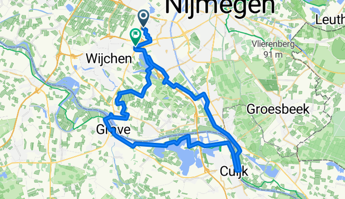
richting Mook/Grave 48 km
A cycling route starting in Lindenholt, Gelderland, The Netherlands.
Overview
About this route
TEASI Track
- -:--
- Duration
- 48.2 km
- Distance
- 25 m
- Ascent
- 29 m
- Descent
- ---
- Avg. speed
- ---
- Max. altitude
Route quality
Waytypes & surfaces along the route
Waytypes
Quiet road
19.7 km
(41 %)
Cycleway
19.3 km
(40 %)
Surfaces
Paved
27.9 km
(58 %)
Unpaved
1.9 km
(4 %)
Asphalt
25 km
(52 %)
Paved (undefined)
1.9 km
(4 %)
Route highlights
Points of interest along the route
Point of interest after 0 km
Point of interest after 0 km
Point of interest after 0.3 km
Point of interest after 0.8 km
Point of interest after 0.9 km
Point of interest after 1.2 km
Point of interest after 1.2 km
Point of interest after 1.4 km
Point of interest after 1.6 km
Point of interest after 1.7 km
Continue with Bikemap
Use, edit, or download this cycling route
You would like to ride richting Mook/Grave 48 km or customize it for your own trip? Here is what you can do with this Bikemap route:
Free features
- Save this route as favorite or in collections
- Copy & plan your own version of this route
- Sync your route with Garmin or Wahoo
Premium features
Free trial for 3 days, or one-time payment. More about Bikemap Premium.
- Navigate this route on iOS & Android
- Export a GPX / KML file of this route
- Create your custom printout (try it for free)
- Download this route for offline navigation
Discover more Premium features.
Get Bikemap PremiumFrom our community
Other popular routes starting in Lindenholt
 Nijmegen-Arnhem
- Distance
- 59.5 km
- Ascent
- 100 m
- Descent
- 99 m
- Location
- Lindenholt, Gelderland, The Netherlands
 richting Mook/Grave 48 km
- Distance
- 48.2 km
- Ascent
- 25 m
- Descent
- 29 m
- Location
- Lindenholt, Gelderland, The Netherlands
 Wijchern-Rund-47KM
- Distance
- 46.2 km
- Ascent
- 16 m
- Descent
- 15 m
- Location
- Lindenholt, Gelderland, The Netherlands
 dichtbij huis
- Distance
- 42.7 km
- Ascent
- 35 m
- Descent
- 36 m
- Location
- Lindenholt, Gelderland, The Netherlands
 Wnd 8km Heide Overasselt
- Distance
- 8.1 km
- Ascent
- 38 m
- Descent
- 35 m
- Location
- Lindenholt, Gelderland, The Netherlands
 Rondje Nijmegen-Frasselt
- Distance
- 75.3 km
- Ascent
- 234 m
- Descent
- 235 m
- Location
- Lindenholt, Gelderland, The Netherlands
 Rondje Beuningen-Posbank
- Distance
- 121.2 km
- Ascent
- 224 m
- Descent
- 225 m
- Location
- Lindenholt, Gelderland, The Netherlands
 Kort rondje Berendonck/Hatertse Vennen
- Distance
- 16.3 km
- Ascent
- 37 m
- Descent
- 38 m
- Location
- Lindenholt, Gelderland, The Netherlands
Open it in the app