Waldthurn - Pleystein - Eslarn - Hostoun
- 44.3 km
- 435 m
- 529 m
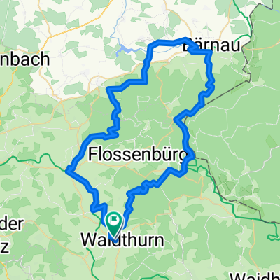
- Waldthurn, Bavaria, Germany
A cycling route starting in Waldthurn, Bavaria, Germany.
Overview
Sunday 19.04.2015 Haselranken - Grafenreuth - Bergnetsreuth - Wilchenreuth - down into the Naab valley - Edeldorf - Weiden - Butterhof - Mitterhöll - up to Mugelhof - fantastic view - Trauschendorf - Roggensten - Iltismühle - Waldau - Irlhof - Haselankn (cloned from route 2986168)
created this 10 years ago
Route quality
Quiet road
15 km
(41 %)
Road
11 km
(30 %)
Paved
35.5 km
(97 %)
Unpaved
0.7 km
(2 %)
Asphalt
35.5 km
(97 %)
Gravel
0.4 km
(1 %)
Continue with Bikemap
You would like to ride 2015.05_360 ° Panoramatour or customize it for your own trip? Here is what you can do with this Bikemap route:
Free trial for 3 days, or one-time payment. More about Bikemap Premium.
Discover more Premium features.
Get Bikemap PremiumFrom our community
Open it in the app