

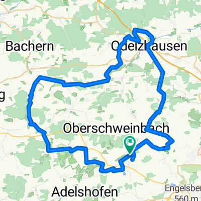
Nannhofen - Grafrath
A cycling route starting in Mammendorf, Bavaria, Germany.
Overview
About this route
Mit der S-Bahn von Gröbenzell nach Mammendorf. Nördlich der Bahn beginnt die Tour über Mittelstetten, Egling an der Paar, Kaltenberg, Geltendorf, Grafrath. Mit der S-Bahn nach Puchheim. (cloned from route 2990157)
- -:--
- Duration
- 49.1 km
- Distance
- 210 m
- Ascent
- 198 m
- Descent
- ---
- Avg. speed
- ---
- Avg. speed
Route quality
Waytypes & surfaces along the route
Waytypes
Quiet road
30.7 km
(63 %)
Road
9.3 km
(19 %)
Surfaces
Paved
43.5 km
(89 %)
Unpaved
1.5 km
(3 %)
Asphalt
43.4 km
(88 %)
Gravel
1 km
(2 %)
Continue with Bikemap
Use, edit, or download this cycling route
You would like to ride Nannhofen - Grafrath or customize it for your own trip? Here is what you can do with this Bikemap route:
Free features
- Save this route as favorite or in collections
- Copy & plan your own version of this route
- Sync your route with Garmin or Wahoo
Premium features
Free trial for 3 days, or one-time payment. More about Bikemap Premium.
- Navigate this route on iOS & Android
- Export a GPX / KML file of this route
- Create your custom printout (try it for free)
- Download this route for offline navigation
Discover more Premium features.
Get Bikemap PremiumFrom our community
Other popular routes starting in Mammendorf
 Amperschlucht-schöngeising-mammendorf
- Distance
- 25.4 km
- Ascent
- 203 m
- Descent
- 206 m
- Location
- Mammendorf, Bavaria, Germany
 Mammendorf-Eurasburg
- Distance
- 60.3 km
- Ascent
- 396 m
- Descent
- 398 m
- Location
- Mammendorf, Bavaria, Germany
 Hausen 60 km-24
- Distance
- 59.7 km
- Ascent
- 371 m
- Descent
- 370 m
- Location
- Mammendorf, Bavaria, Germany
 Landsberg Tour
- Distance
- 66.9 km
- Ascent
- 232 m
- Descent
- 230 m
- Location
- Mammendorf, Bavaria, Germany
 Rund um Mammendorf - Amper - Esting - Schöngeising
- Distance
- 50.2 km
- Ascent
- 105 m
- Descent
- 103 m
- Location
- Mammendorf, Bavaria, Germany
 Von Mammendorf (S4) nach Herrsching (S5)
- Distance
- 62.5 km
- Ascent
- 381 m
- Descent
- 369 m
- Location
- Mammendorf, Bavaria, Germany
 Mammendorf-Odelzhausen
- Distance
- 59.3 km
- Ascent
- 411 m
- Descent
- 408 m
- Location
- Mammendorf, Bavaria, Germany
 Nannhofen - Grafrath
- Distance
- 49.1 km
- Ascent
- 210 m
- Descent
- 198 m
- Location
- Mammendorf, Bavaria, Germany
Open it in the app