

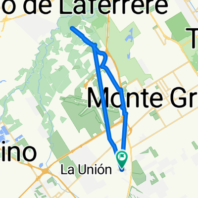
Estación Monte Grande - Caden
A cycling route starting in Ezeiza, Buenos Aires, Argentina.
Overview
About this route
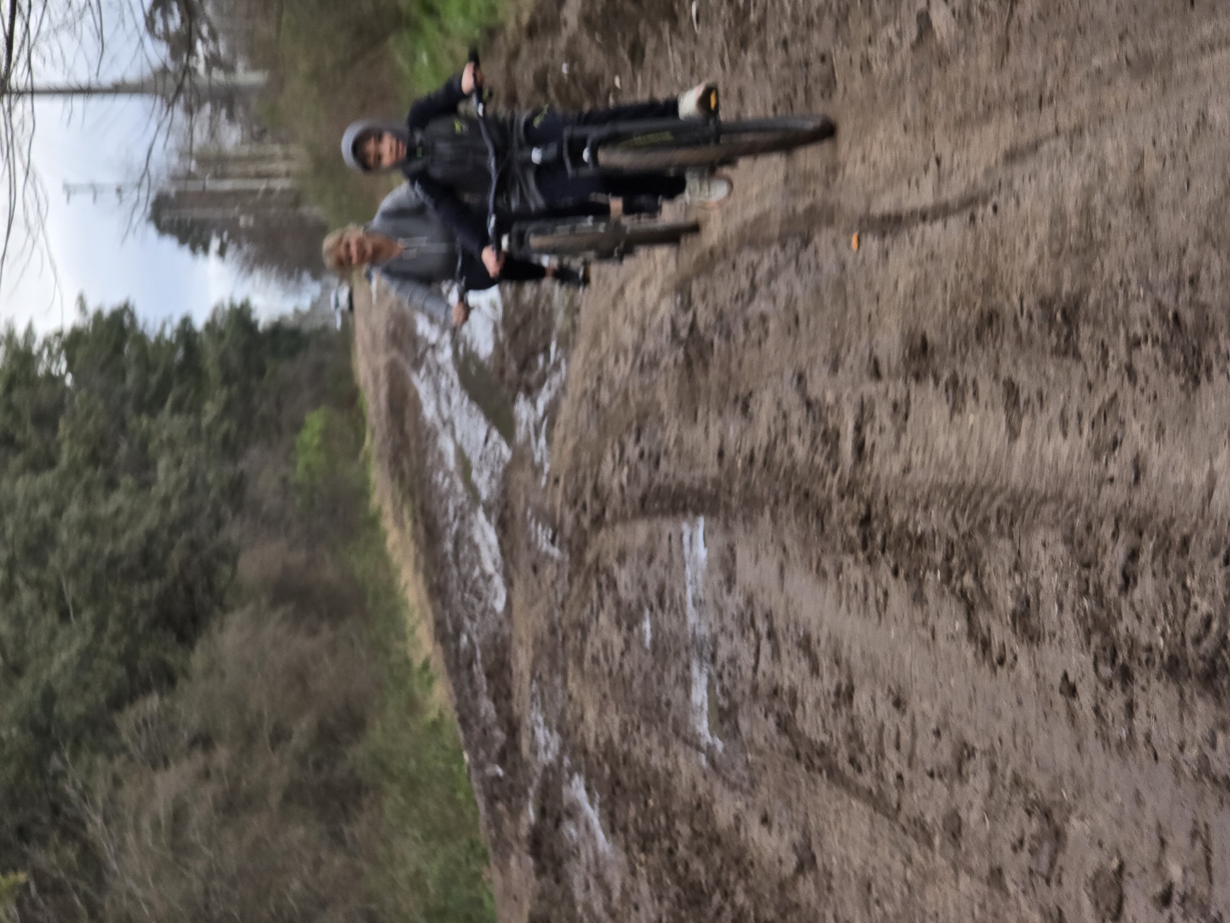
Ruta para ir desde la estación Monte grande (tren de Constitución a Ezeiza) al Circuito de MTB caden. El recorrido es muy tranqui, en su mayoría ruta poco transitada, Salvo en el puente que cruza la richieri que suele estar cargada de transito.
(cloned from route 652994)- -:--
- Duration
- 10.3 km
- Distance
- 55 m
- Ascent
- 57 m
- Descent
- ---
- Avg. speed
- ---
- Max. altitude

Continue with Bikemap
Use, edit, or download this cycling route
You would like to ride Estación Monte Grande - Caden or customize it for your own trip? Here is what you can do with this Bikemap route:
Free features
- Save this route as favorite or in collections
- Copy & plan your own version of this route
- Sync your route with Garmin or Wahoo
Premium features
Free trial for 3 days, or one-time payment. More about Bikemap Premium.
- Navigate this route on iOS & Android
- Export a GPX / KML file of this route
- Create your custom printout (try it for free)
- Download this route for offline navigation
Discover more Premium features.
Get Bikemap PremiumFrom our community
Other popular routes starting in Ezeiza
 Ruta desde Ezeiza
- Distance
- 12 km
- Ascent
- 25 m
- Descent
- 55 m
- Location
- Ezeiza, Buenos Aires, Argentina
 Argentine de buones Aires à la frontière bolivienne
- Distance
- 1,420 km
- Ascent
- 2,354 m
- Descent
- 1,411 m
- Location
- Ezeiza, Buenos Aires, Argentina
 De Diego Laure a José María Ezeiza
- Distance
- 27.9 km
- Ascent
- 148 m
- Descent
- 166 m
- Location
- Ezeiza, Buenos Aires, Argentina
 Cadem
Cadem- Distance
- 3.8 km
- Ascent
- 86 m
- Descent
- 79 m
- Location
- Ezeiza, Buenos Aires, Argentina
 travesia Mirasoles-Caden-Lago Escondido-Cruce-Mirasoles
- Distance
- 41.1 km
- Ascent
- 63 m
- Descent
- 64 m
- Location
- Ezeiza, Buenos Aires, Argentina
 Ruta tranquila en Ezeiza
- Distance
- 17.5 km
- Ascent
- 18 m
- Descent
- 16 m
- Location
- Ezeiza, Buenos Aires, Argentina
 Argentine :Buenos Aires => Frontière Chili/Bolivie (R.A. 51)
- Distance
- 2,178.9 km
- Ascent
- 6,798 m
- Descent
- 2,686 m
- Location
- Ezeiza, Buenos Aires, Argentina
 barrio +calles
- Distance
- 4.7 km
- Ascent
- 4 m
- Descent
- 0 m
- Location
- Ezeiza, Buenos Aires, Argentina
Open it in the app