

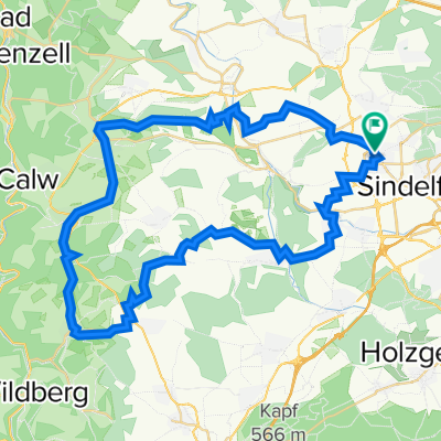
Sindelfingen-Besancon
A cycling route starting in Magstadt, Baden-Wurttemberg, Germany.
Overview
About this route
Through the Black Forest, along the Doubs to Besançon.
- -:--
- Duration
- 337 km
- Distance
- 1,143 m
- Ascent
- 1,340 m
- Descent
- ---
- Avg. speed
- ---
- Max. altitude
Route quality
Waytypes & surfaces along the route
Waytypes
Road
87.6 km
(26 %)
Quiet road
70.8 km
(21 %)
Surfaces
Paved
269.6 km
(80 %)
Unpaved
6.7 km
(2 %)
Asphalt
239.2 km
(71 %)
Paved (undefined)
30.3 km
(9 %)
Continue with Bikemap
Use, edit, or download this cycling route
You would like to ride Sindelfingen-Besancon or customize it for your own trip? Here is what you can do with this Bikemap route:
Free features
- Save this route as favorite or in collections
- Copy & plan your own version of this route
- Split it into stages to create a multi-day tour
- Sync your route with Garmin or Wahoo
Premium features
Free trial for 3 days, or one-time payment. More about Bikemap Premium.
- Navigate this route on iOS & Android
- Export a GPX / KML file of this route
- Create your custom printout (try it for free)
- Download this route for offline navigation
Discover more Premium features.
Get Bikemap PremiumFrom our community
Other popular routes starting in Magstadt
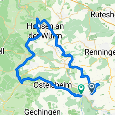
 Siebenmühlental
- Distance
- 47.3 km
- Ascent
- 369 m
- Descent
- 367 m
- Location
- Magstadt, Baden-Wurttemberg, Germany
 32KM Rundtour über Ehningen und Böblingen
- Distance
- 31.7 km
- Ascent
- 258 m
- Descent
- 258 m
- Location
- Magstadt, Baden-Wurttemberg, Germany
 ohne plan ne Runde
- Distance
- 28 km
- Ascent
- 482 m
- Descent
- 499 m
- Location
- Magstadt, Baden-Wurttemberg, Germany
 Querfeldein durch's Heckengäu
- Distance
- 40.4 km
- Ascent
- 604 m
- Descent
- 626 m
- Location
- Magstadt, Baden-Wurttemberg, Germany
 Rundtour von Maichingen zur Mäulesmühle
- Distance
- 65.1 km
- Ascent
- 684 m
- Descent
- 683 m
- Location
- Magstadt, Baden-Wurttemberg, Germany
 Sindelfingen - Bietigheim-Bissingen (den neckar entlang)
- Distance
- 63.7 km
- Ascent
- 373 m
- Descent
- 612 m
- Location
- Magstadt, Baden-Wurttemberg, Germany
 Schönbuch-Heckengäu-Tour
- Distance
- 60.3 km
- Ascent
- 646 m
- Descent
- 646 m
- Location
- Magstadt, Baden-Wurttemberg, Germany
 Von Maichingen an die Schwarzwaldgrenze
- Distance
- 54.7 km
- Ascent
- 733 m
- Descent
- 733 m
- Location
- Magstadt, Baden-Wurttemberg, Germany
Open it in the app