Mountinbike: Die Vier-Gipfel-Tour
- 57.3 km
- 1,326 m
- 1,324 m
- Bischofsheim in der Rhön, Bavaria, Germany
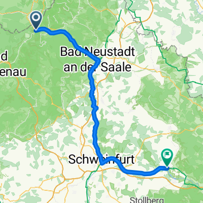
A cycling route starting in Bischofsheim in der Rhön, Bavaria, Germany.
Overview
Starting point: Bischofsheim central parking Length of the trail: approx. 62 km Elevation differences: approx. 1650 hm Highest points: Kreuzberg (928m), Himmeldunkberg (888m), Wasserkuppe (950m), Heidelstein (926m) Difficulties: Very difficult tour with large elevation differences Paths: Natural and gravel paths, little asphalt Marking: Mountain bike route network Map: Mountain bike route map Rhön Rest stops: Wasserkuppe, Gersfeld, Oberweißenbrunn, Kreuzberg (cloned from route 436595)
created this 10 years ago
Route quality
Track
37.8 km
(66 %)
Access road
4.6 km
(8 %)
Paved
18.3 km
(32 %)
Unpaved
34.4 km
(60 %)
Gravel
19.5 km
(34 %)
Asphalt
17.2 km
(30 %)
Continue with Bikemap
You would like to ride Mountinbike: Die Vier-Gipfel-Tour or customize it for your own trip? Here is what you can do with this Bikemap route:
Free trial for 3 days, or one-time payment. More about Bikemap Premium.
Discover more Premium features.
Get Bikemap PremiumFrom our community
Open it in the app