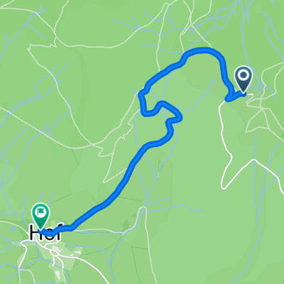
Feldberg Schauinsland
- 10.8 km
- 435 m
- 530 m
- Bernau, Baden-Wurttemberg, Germany
A cycling route starting in Bernau, Baden-Wurttemberg, Germany.
Overview
From Stöckerwald-Hütte to Menzenschwander Bridge
created this 11 years ago
Route quality
Track
6.6 km
80 %
Quiet road
0.8 km
10 %
Paved
1 km
(12 %)
Unpaved
6.8 km
(83 %)
Gravel
4.5 km
55 %
Ground
1.1 km
13 %
Continue with Bikemap
You would like to ride Gipfel-Trail Variante 2 or customize it for your own trip? Here is what you can do with this Bikemap route:
Free trial for 3 days, or one-time payment. More about Bikemap Premium.
Discover more Premium features.
Get Bikemap PremiumFrom our community
Open it in the app