

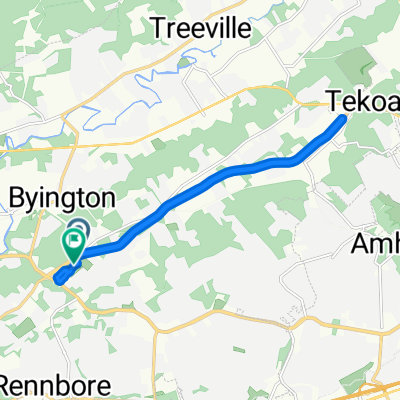
Karns-NE-130km
A cycling route starting in Farragut, Tennessee, United States.
Overview
About this route
Ride from Karns to Claxton then Northeast: 130km
- -:--
- Duration
- 129.9 km
- Distance
- 604 m
- Ascent
- 596 m
- Descent
- ---
- Avg. speed
- ---
- Max. altitude
Route quality
Waytypes & surfaces along the route
Waytypes
Quiet road
52 km
(40 %)
Road
16.9 km
(13 %)
Surfaces
Paved
29.9 km
(23 %)
Paved (undefined)
23.4 km
(18 %)
Asphalt
6.5 km
(5 %)
Undefined
100 km
(77 %)
Continue with Bikemap
Use, edit, or download this cycling route
You would like to ride Karns-NE-130km or customize it for your own trip? Here is what you can do with this Bikemap route:
Free features
- Save this route as favorite or in collections
- Copy & plan your own version of this route
- Split it into stages to create a multi-day tour
- Sync your route with Garmin or Wahoo
Premium features
Free trial for 3 days, or one-time payment. More about Bikemap Premium.
- Navigate this route on iOS & Android
- Export a GPX / KML file of this route
- Create your custom printout (try it for free)
- Download this route for offline navigation
Discover more Premium features.
Get Bikemap PremiumFrom our community
Other popular routes starting in Farragut
 Fireworks Superstore back via Melton Hill Dam
- Distance
- 31.5 km
- Ascent
- 278 m
- Descent
- 275 m
- Location
- Farragut, Tennessee, United States
 Firework SS - Melton Hill Dam - County Line Rd - Hines Valley
- Distance
- 42.4 km
- Ascent
- 296 m
- Descent
- 295 m
- Location
- Farragut, Tennessee, United States
 KSW-75m
- Distance
- 121.4 km
- Ascent
- 456 m
- Descent
- 454 m
- Location
- Farragut, Tennessee, United States
 VG Shopping Center to Lake & Back
- Distance
- 37.2 km
- Ascent
- 325 m
- Descent
- 319 m
- Location
- Farragut, Tennessee, United States
 Karns-NE-130km
- Distance
- 129.9 km
- Ascent
- 604 m
- Descent
- 596 m
- Location
- Farragut, Tennessee, United States
 Ball Camp Pike to Ball Camp Pike
- Distance
- 16.3 km
- Ascent
- 116 m
- Descent
- 91 m
- Location
- Farragut, Tennessee, United States
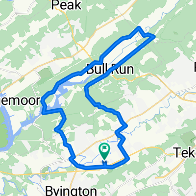 Bull-Run-Bell-Camp-Brushy-Valley
- Distance
- 30 km
- Ascent
- 309 m
- Descent
- 310 m
- Location
- Farragut, Tennessee, United States
 Greenway Rte to WFP and Back
- Distance
- 41.1 km
- Ascent
- 348 m
- Descent
- 349 m
- Location
- Farragut, Tennessee, United States
Open it in the app