3. Etappe Blankenstein - Neudietendorf
- 141.9 km
- 1,093 m
- 1,294 m
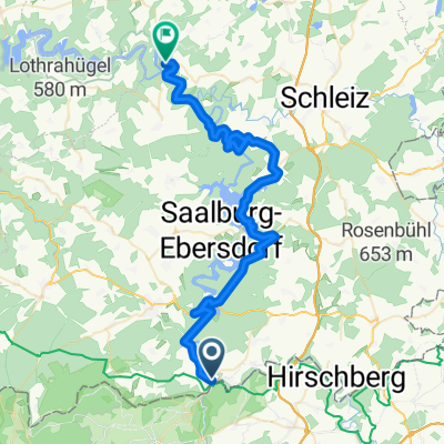
- Blankenstein, Thuringia, Germany
A cycling route starting in Blankenstein, Thuringia, Germany.
Overview
Rennsteig Tour 29.07.2010
Ralf's Route
created this 10 years ago
Route highlights
Schieferparkmuseum
Spechtsbrunn Naturpark Info Zentrum
Sommerrodelbahn
Ziel erste Etappe Neuhaus
Schwarzaquelle
Ausblick Talsperre
Ausblick Talsperre Goldisthal
Masserberg
Bahnhof Allzunah?
Bahnhof Rennsteig
Herbert Roth Denkmal
Schmücke
Schneekopf
Großer Beerberg
Rennsteiggarten
2 Tagesetappe Oberhof
Grenzadler weiter auf RW
Spießberghaus
Heuberghaus
Großer Inselsberg
Continue with Bikemap
You would like to ride Blankenstein -Hörschel or customize it for your own trip? Here is what you can do with this Bikemap route:
Free trial for 3 days, or one-time payment. More about Bikemap Premium.
Discover more Premium features.
Get Bikemap PremiumFrom our community
Open it in the app