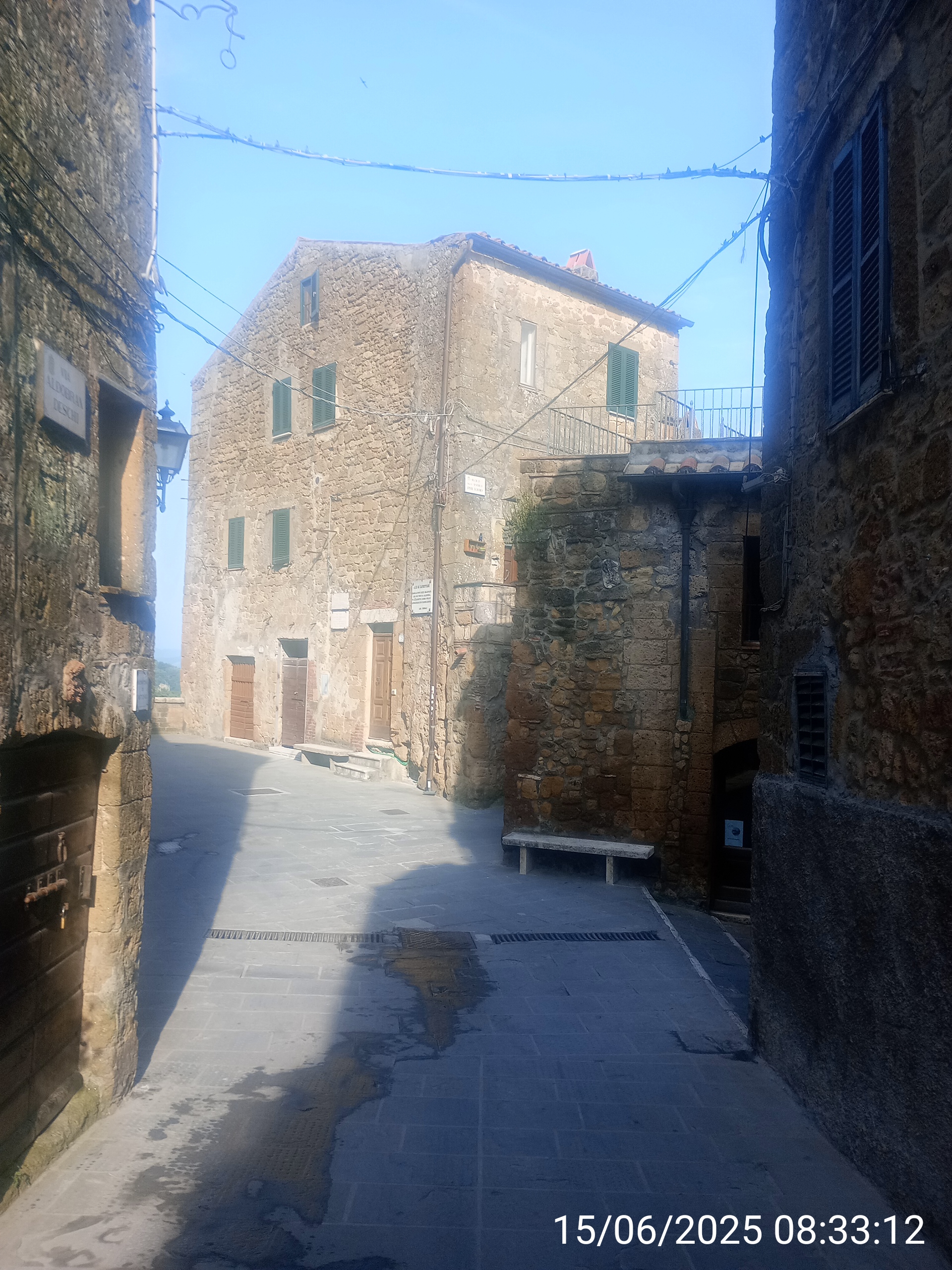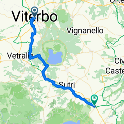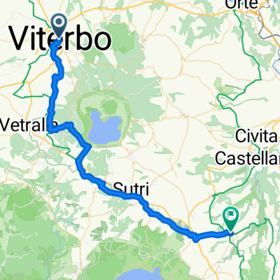
Viterbo - Mazzano Romano
- 51.5 km
- 755 m
- 877 m
- Viterbo, Lazio, Italy
A cycling route starting in Viterbo, Lazio, Italy.
Overview
Giro VT
created this 10 years ago
Route quality
Road
53.6 km
(25 %)
Quiet road
17.1 km
(8 %)
Paved
158.6 km
(74 %)
Unpaved
4.3 km
(2 %)
Asphalt
158.6 km
(74 %)
Ground
4.3 km
(2 %)
Undefined
51.4 km
(24 %)
Route highlights
Cantoniera Latera
Bolsena monte Panaro
strappo per Bagnaia pian del Cerro
Strada Romana km 5,1 pendenza media 5,9% pendenza max 15%
Croce di San Martino
Monte Venere
Muro di San Rocco km.0,7 pend.media 11,1% pend max. 20%
Muro di Canepina 0.8 km pnd,media 16,3% pnd.max 26%
Monte Cimino
Continue with Bikemap
You would like to ride Giro della provincia di VT or customize it for your own trip? Here is what you can do with this Bikemap route:
Free trial for 3 days, or one-time payment. More about Bikemap Premium.
Discover more Premium features.
Get Bikemap PremiumFrom our community
Open it in the app