

Laskomer tour light
A cycling route starting in Banská Bystrica, Banská Bystrica Region, Slovakia.
Overview
About this route
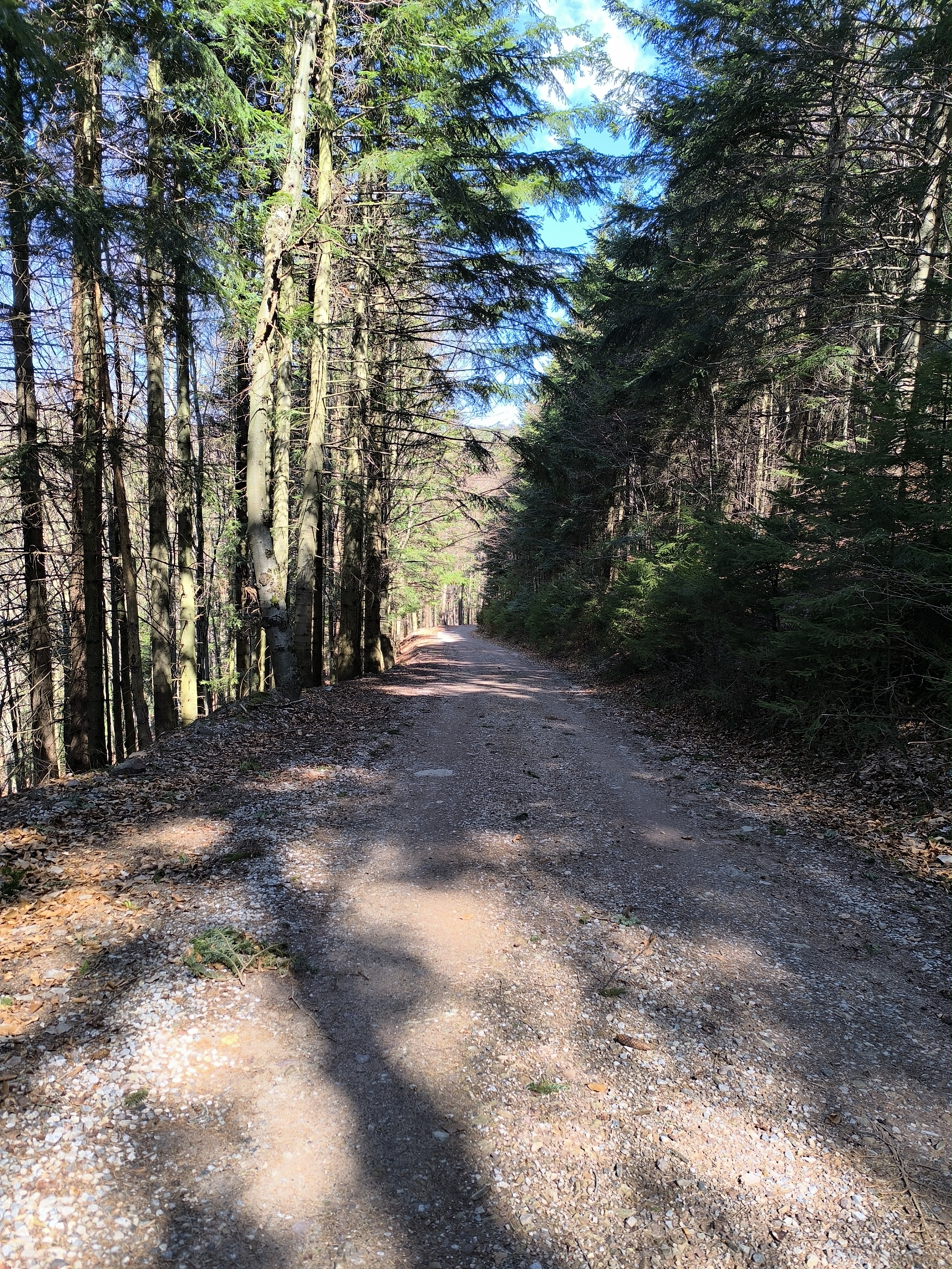
Laskomer zmeria tvoju lásku k prekonávaniu kopčekov, no na konci si užiješ výhľady na Panský diel, hrebeň NT a zvlnené lúky laskomerské. Zelená turistická značka vedie až na Ravasky, no tam som sa napojila na lokálnu trasu doľava (štvorec so zeleným trojuholníkom) a strmý svahový terén ma zaviedol až na cestu Podlavických výmolov...
- -:--
- Duration
- 20.2 km
- Distance
- 561 m
- Ascent
- 560 m
- Descent
- ---
- Avg. speed
- ---
- Max. altitude

Continue with Bikemap
Use, edit, or download this cycling route
You would like to ride Laskomer tour light or customize it for your own trip? Here is what you can do with this Bikemap route:
Free features
- Save this route as favorite or in collections
- Copy & plan your own version of this route
- Sync your route with Garmin or Wahoo
Premium features
Free trial for 3 days, or one-time payment. More about Bikemap Premium.
- Navigate this route on iOS & Android
- Export a GPX / KML file of this route
- Create your custom printout (try it for free)
- Download this route for offline navigation
Discover more Premium features.
Get Bikemap PremiumFrom our community
Other popular routes starting in Banská Bystrica
 Na Kralovu Studnu
- Distance
- 50.3 km
- Ascent
- 2,257 m
- Descent
- 2,294 m
- Location
- Banská Bystrica, Banská Bystrica Region, Slovakia
 vlkanova micinske luky vlkanova
- Distance
- 17.8 km
- Ascent
- 309 m
- Descent
- 304 m
- Location
- Banská Bystrica, Banská Bystrica Region, Slovakia
 BB, Malachov, Mutno, KralikyDole, Tajov, BB
- Distance
- 18.9 km
- Ascent
- 440 m
- Descent
- 439 m
- Location
- Banská Bystrica, Banská Bystrica Region, Slovakia
 Laskomer tour light
- Distance
- 20.2 km
- Ascent
- 561 m
- Descent
- 560 m
- Location
- Banská Bystrica, Banská Bystrica Region, Slovakia
 Cyklokorytnička Ružomberok - Korytnica a späť
- Distance
- 25.1 km
- Ascent
- 13 m
- Descent
- 363 m
- Location
- Banská Bystrica, Banská Bystrica Region, Slovakia
 Hiadeľ Moštenica Kalište Baláže Š. Ľupča Hiadeľ
- Distance
- 50.9 km
- Ascent
- 1,094 m
- Descent
- 1,136 m
- Location
- Banská Bystrica, Banská Bystrica Region, Slovakia
 Banská Bystrica - Vlkanová -Horná Mičiná - BB
- Distance
- 19 km
- Ascent
- 359 m
- Descent
- 342 m
- Location
- Banská Bystrica, Banská Bystrica Region, Slovakia
 2.Staré Hory - Skalka, alternatíva cez Riečku (cyklotrasa)
- Distance
- 10.9 km
- Ascent
- 672 m
- Descent
- 339 m
- Location
- Banská Bystrica, Banská Bystrica Region, Slovakia
Open it in the app