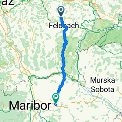
Auersbach, Riegersburg nach Götzenbichl 64a, Mortantsch
- 104.1 km
- 612 m
- 544 m
- Auersbach, Styria, Austria
A cycling route starting in Auersbach, Styria, Austria.
Overview
Relatively easy route - except for the climb before Eichkögel - hardly any elevation changes
Route quality
Cycleway
5.9 km
17 %
Road
4.9 km
14 %
Paved
31.4 km
(90 %)
Asphalt
31.1 km
89 %
Concrete
0.3 km
1 %
Undefined
3.5 km
10 %
Continue with Bikemap
You would like to ride Leichte Hügellandroute or customize it for your own trip? Here is what you can do with this Bikemap route:
Free trial for 3 days, or one-time payment. More about Bikemap Premium.
Discover more Premium features.
Get Bikemap PremiumFrom our community
Open it in the app