

ŠENTILJ - SPIELFELD - CMUREK - FELDBACH - RIGERSBURG - FELDBACH - SAAZ - SANKT STEFAN AM ROSENTHAL - GLATZAU - ZIPREIN - SEIBUTTENDORF - RAGNITZ - LEIBNITZ - SP
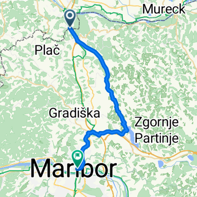
A cycling route starting in Šentilj, Občina Šentilj, Slovenia.
Overview
About this route
ŠENTILJ - SPIELFELD - CMUREK - FELDBACH - RIGERSBURG - FELDBACH - SAAZ - SANKT STEFAN AM ROSENTHAL - GLATZAU - ZIPREIN - SEIBUTTENDORF - RAGNITZ - LEIBNITZ - SPIELFELD - ŠENTILJ
approx. 720 m of elevation gain
- -:--
- Duration
- 137 km
- Distance
- 586 m
- Ascent
- 585 m
- Descent
- ---
- Avg. speed
- ---
- Max. altitude

Route quality
Waytypes & surfaces along the route
Waytypes
Cycleway
21.9 km
(16 %)
Quiet road
20.6 km
(15 %)
Surfaces
Paved
116.5 km
(85 %)
Unpaved
4.1 km
(3 %)
Asphalt
116.5 km
(85 %)
Ground
2.7 km
(2 %)
Continue with Bikemap
Use, edit, or download this cycling route
You would like to ride ŠENTILJ - SPIELFELD - CMUREK - FELDBACH - RIGERSBURG - FELDBACH - SAAZ - SANKT STEFAN AM ROSENTHAL - GLATZAU - ZIPREIN - SEIBUTTENDORF - RAGNITZ - LEIBNITZ - SP or customize it for your own trip? Here is what you can do with this Bikemap route:
Free features
- Save this route as favorite or in collections
- Copy & plan your own version of this route
- Split it into stages to create a multi-day tour
- Sync your route with Garmin or Wahoo
Premium features
Free trial for 3 days, or one-time payment. More about Bikemap Premium.
- Navigate this route on iOS & Android
- Export a GPX / KML file of this route
- Create your custom printout (try it for free)
- Download this route for offline navigation
Discover more Premium features.
Get Bikemap PremiumFrom our community
Other popular routes starting in Šentilj
 Šentilj-Dobrovnik
- Distance
- 67 km
- Ascent
- 53 m
- Descent
- 205 m
- Location
- Šentilj, Občina Šentilj, Slovenia
 cbvc ycy
- Distance
- 22.1 km
- Ascent
- 198 m
- Descent
- 199 m
- Location
- Šentilj, Občina Šentilj, Slovenia
 Šentilj-Svečina- Gaj nad MB- Jakob- Šentilj
- Distance
- 69.9 km
- Ascent
- 986 m
- Descent
- 988 m
- Location
- Šentilj, Občina Šentilj, Slovenia
 Pohorje 4 Pässe
- Distance
- 147.9 km
- Ascent
- 2,010 m
- Descent
- 2,009 m
- Location
- Šentilj, Občina Šentilj, Slovenia
 ŠENTILJ - SPIELFELD - CMUREK - FELDBACH - RIGERSBURG - FELDBACH - SAAZ - SANKT STEFAN AM ROSENTHAL - GLATZAU - ZIPREIN - SEIBUTTENDORF - RAGNITZ - LEIBNITZ - SP
- Distance
- 137 km
- Ascent
- 586 m
- Descent
- 585 m
- Location
- Šentilj, Občina Šentilj, Slovenia
 Fresing 72km
- Distance
- 71.4 km
- Ascent
- 318 m
- Descent
- 330 m
- Location
- Šentilj, Občina Šentilj, Slovenia
 TURA V HERBERTSTEIN
- Distance
- 84.3 km
- Ascent
- 572 m
- Descent
- 442 m
- Location
- Šentilj, Občina Šentilj, Slovenia
 EV9 - Šentilj - Maribor - 2442013
- Distance
- 25.5 km
- Ascent
- 179 m
- Descent
- 185 m
- Location
- Šentilj, Občina Šentilj, Slovenia
Open it in the app