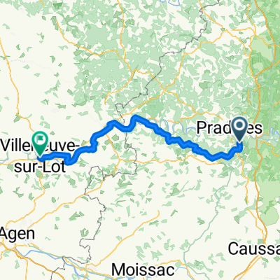
Cahors - St. Gaudens
A cycling route starting in Cahors, Languedoc-Roussillon-Midi-Pyrénées, France.
Overview
About this route
SGA-Radtour 2015Â
Besuch der spanischen Partnerstadt Logrono 8. Etappe 16.05.2015 (cloned from route 2950672)- -:--
- Duration
- 200.5 km
- Distance
- 869 m
- Ascent
- 596 m
- Descent
- ---
- Avg. speed
- ---
- Avg. speed
Route quality
Waytypes & surfaces along the route
Waytypes
Road
91.9 km
(46 %)
Busy road
86.9 km
(43 %)
Surfaces
Paved
38.1 km
(19 %)
Asphalt
32.9 km
(16 %)
Paved (undefined)
5 km
(3 %)
Continue with Bikemap
Use, edit, or download this cycling route
You would like to ride Cahors - St. Gaudens or customize it for your own trip? Here is what you can do with this Bikemap route:
Free features
- Save this route as favorite or in collections
- Copy & plan your own version of this route
- Sync your route with Garmin or Wahoo
Premium features
Free trial for 3 days, or one-time payment. More about Bikemap Premium.
- Navigate this route on iOS & Android
- Export a GPX / KML file of this route
- Create your custom printout (try it for free)
- Download this route for offline navigation
Discover more Premium features.
Get Bikemap PremiumFrom our community
Other popular routes starting in Cahors
- Cahors - Ride to St-Pierre-Lafeuille and Return
- Distance
- 15.9 km
- Ascent
- 287 m
- Descent
- 290 m
- Location
- Cahors, Languedoc-Roussillon-Midi-Pyrénées, France
- Deutschland - Portugal (Berlin - Faro) FR 26 Cahors - Montauban
- Distance
- 68.8 km
- Ascent
- 901 m
- Descent
- 941 m
- Location
- Cahors, Languedoc-Roussillon-Midi-Pyrénées, France
- Cahors - St. Gaudens
- Distance
- 200.5 km
- Ascent
- 869 m
- Descent
- 596 m
- Location
- Cahors, Languedoc-Roussillon-Midi-Pyrénées, France
- Cahors Circle to St-Cirq-Lapopie
- Distance
- 80.1 km
- Ascent
- 1,247 m
- Descent
- 1,247 m
- Location
- Cahors, Languedoc-Roussillon-Midi-Pyrénées, France
- Cargolate été 2021 étape 7
- Distance
- 39.9 km
- Ascent
- 485 m
- Descent
- 321 m
- Location
- Cahors, Languedoc-Roussillon-Midi-Pyrénées, France
- Vichy - Perpignan 1996 Etappe 10
- Distance
- 46.6 km
- Ascent
- 383 m
- Descent
- 331 m
- Location
- Cahors, Languedoc-Roussillon-Midi-Pyrénées, France
- Cahors to La Forge (Souillac)
- Distance
- 71.6 km
- Ascent
- 835 m
- Descent
- 840 m
- Location
- Cahors, Languedoc-Roussillon-Midi-Pyrénées, France
- Gramat anders
- Distance
- 92.2 km
- Ascent
- 2,089 m
- Descent
- 2,145 m
- Location
- Cahors, Languedoc-Roussillon-Midi-Pyrénées, France
Open it in the app