

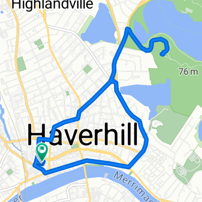
Castle Road
A cycling route starting in Haverhill, Massachusetts, United States.
Overview
About this route
- 1 h 4 min
- Duration
- 13.3 km
- Distance
- 261 m
- Ascent
- 271 m
- Descent
- 12.4 km/h
- Avg. speed
- ---
- Max. altitude

Continue with Bikemap
Use, edit, or download this cycling route
You would like to ride Castle Road or customize it for your own trip? Here is what you can do with this Bikemap route:
Free features
- Save this route as favorite or in collections
- Copy & plan your own version of this route
- Sync your route with Garmin or Wahoo
Premium features
Free trial for 3 days, or one-time payment. More about Bikemap Premium.
- Navigate this route on iOS & Android
- Export a GPX / KML file of this route
- Create your custom printout (try it for free)
- Download this route for offline navigation
Discover more Premium features.
Get Bikemap PremiumFrom our community
Other popular routes starting in Haverhill
 Haverhill to Manchester MA
- Distance
- 44.4 km
- Ascent
- 159 m
- Descent
- 179 m
- Location
- Haverhill, Massachusetts, United States
 Work loop reverse
- Distance
- 16.3 km
- Ascent
- 143 m
- Descent
- 142 m
- Location
- Haverhill, Massachusetts, United States
 Lake Avenue - Castle Road
- Distance
- 12.4 km
- Ascent
- 192 m
- Descent
- 192 m
- Location
- Haverhill, Massachusetts, United States
 Haverhill Loop
- Distance
- 9.2 km
- Ascent
- 39 m
- Descent
- 38 m
- Location
- Haverhill, Massachusetts, United States
 Carters Ice Cream Jiggity Loop
- Distance
- 7.6 km
- Ascent
- 62 m
- Descent
- 62 m
- Location
- Haverhill, Massachusetts, United States
 Kenoza Loop
- Distance
- 8.2 km
- Ascent
- 117 m
- Descent
- 117 m
- Location
- Haverhill, Massachusetts, United States
 Castle Road
- Distance
- 13.3 km
- Ascent
- 261 m
- Descent
- 271 m
- Location
- Haverhill, Massachusetts, United States
 Lake Avenue - Castle Road
- Distance
- 12.5 km
- Ascent
- 216 m
- Descent
- 219 m
- Location
- Haverhill, Massachusetts, United States
Open it in the app