

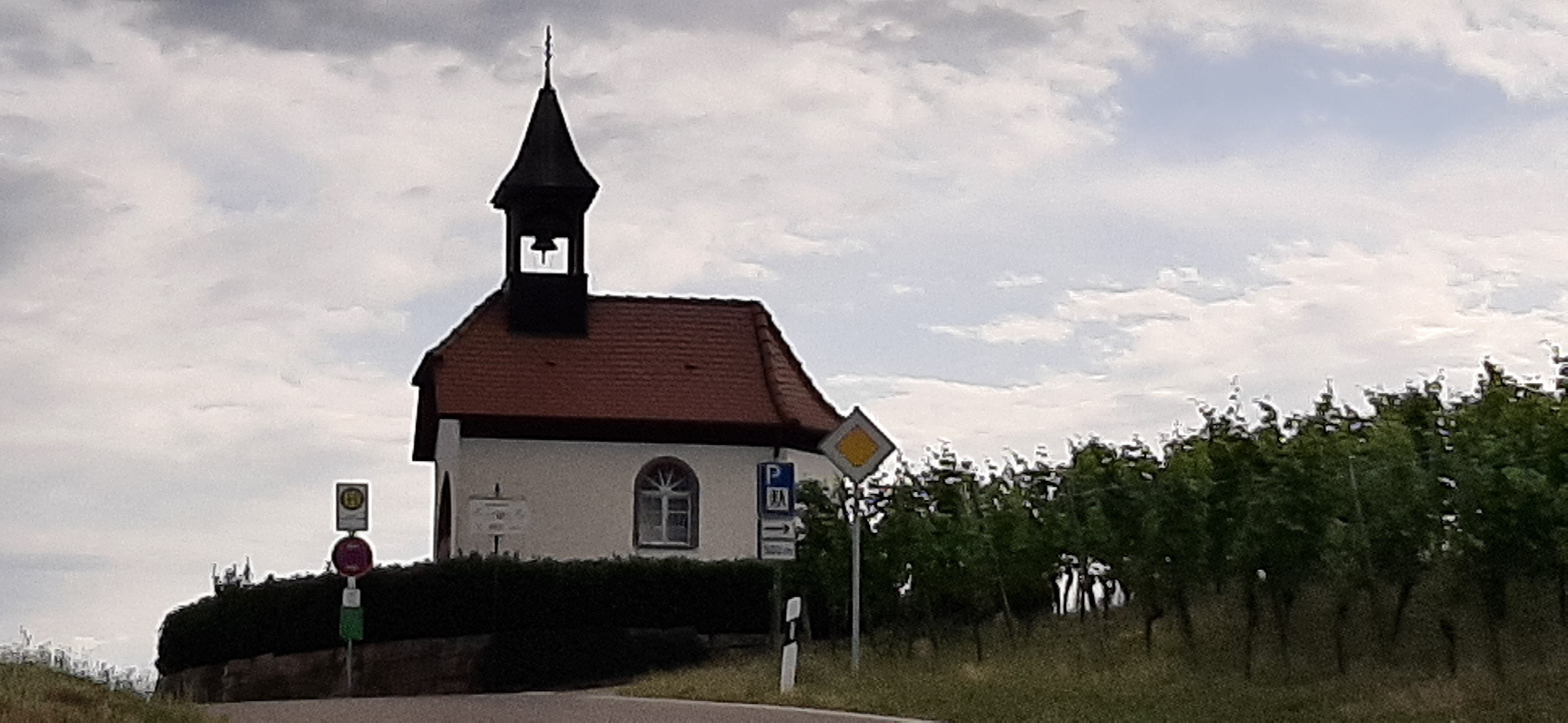
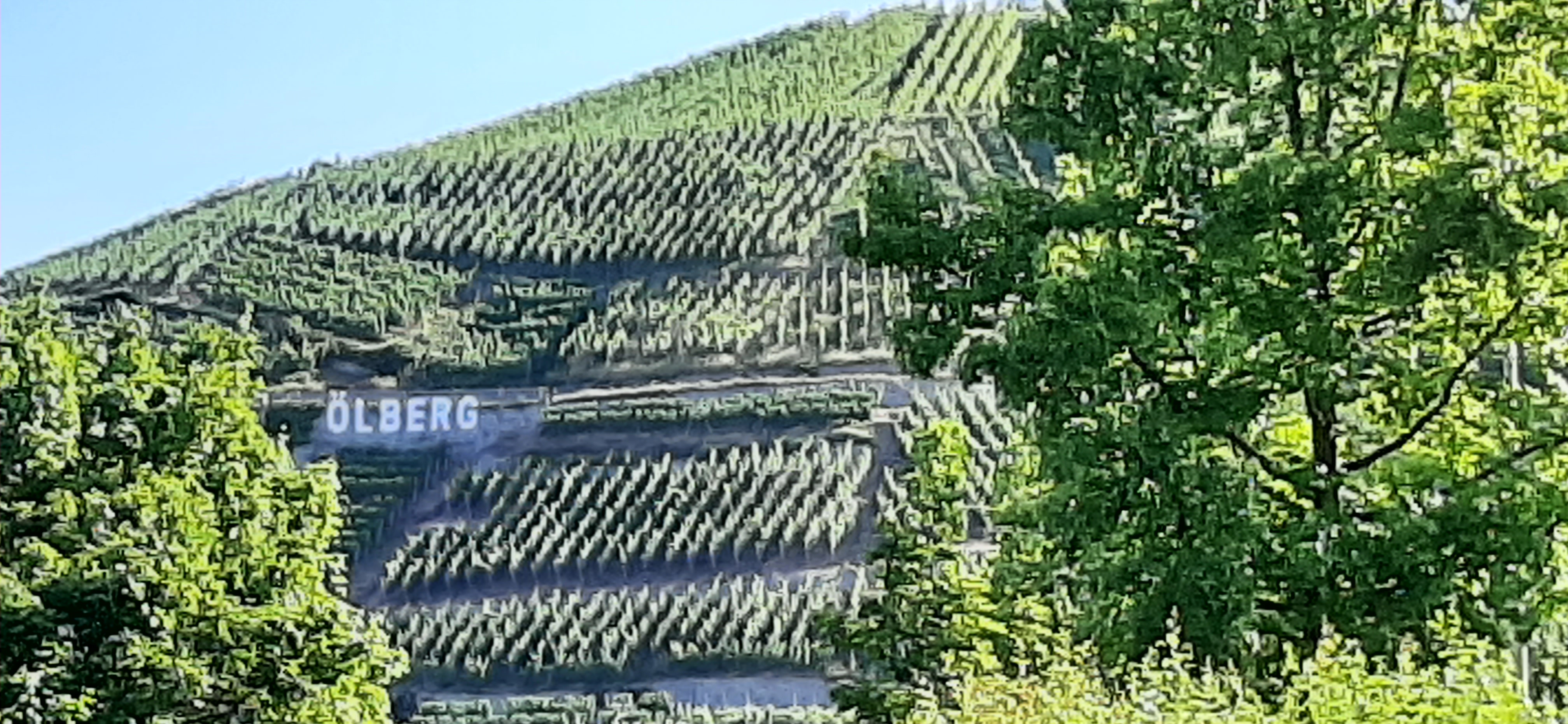
4-Täler
A cycling route starting in Durbach, Baden-Wurttemberg, Germany.
Overview
About this route
Via Solberg, Blaubronn, Ringelbach, Bottenau
- -:--
- Duration
- 56 km
- Distance
- 1,141 m
- Ascent
- 1,138 m
- Descent
- ---
- Avg. speed
- ---
- Max. altitude
Route quality
Waytypes & surfaces along the route
Waytypes
Road
26.9 km
(48 %)
Quiet road
23.5 km
(42 %)
Surfaces
Paved
33 km
(59 %)
Unpaved
2.2 km
(4 %)
Asphalt
32.5 km
(58 %)
Gravel
2.2 km
(4 %)
Continue with Bikemap
Use, edit, or download this cycling route
You would like to ride 4-Täler or customize it for your own trip? Here is what you can do with this Bikemap route:
Free features
- Save this route as favorite or in collections
- Copy & plan your own version of this route
- Sync your route with Garmin or Wahoo
Premium features
Free trial for 3 days, or one-time payment. More about Bikemap Premium.
- Navigate this route on iOS & Android
- Export a GPX / KML file of this route
- Create your custom printout (try it for free)
- Download this route for offline navigation
Discover more Premium features.
Get Bikemap PremiumFrom our community
Other popular routes starting in Durbach
 Mooskopftour
- Distance
- 29.3 km
- Ascent
- 867 m
- Descent
- 866 m
- Location
- Durbach, Baden-Wurttemberg, Germany
 Durbacher Weitblick
- Distance
- 11.3 km
- Ascent
- 444 m
- Descent
- 443 m
- Location
- Durbach, Baden-Wurttemberg, Germany
 Almstraße nach Wolfsgasse
- Distance
- 11.3 km
- Ascent
- 346 m
- Descent
- 331 m
- Location
- Durbach, Baden-Wurttemberg, Germany
 4-Täler
- Distance
- 56 km
- Ascent
- 1,141 m
- Descent
- 1,138 m
- Location
- Durbach, Baden-Wurttemberg, Germany
 Durbach / Weiler nach Moosenwaldkopf
- Distance
- 34.6 km
- Ascent
- 716 m
- Descent
- 843 m
- Location
- Durbach, Baden-Wurttemberg, Germany
 Burgunderstraße nach Straße Ohne Straßennamen
- Distance
- 10.7 km
- Ascent
- 534 m
- Descent
- 370 m
- Location
- Durbach, Baden-Wurttemberg, Germany
 Durbach - Allerheiligen - Blaubronn - Ringelbacherhöhe
- Distance
- 68.7 km
- Ascent
- 1,106 m
- Descent
- 1,106 m
- Location
- Durbach, Baden-Wurttemberg, Germany
 4-Tälertour Gruppe 2
- Distance
- 56 km
- Ascent
- 1,152 m
- Descent
- 1,152 m
- Location
- Durbach, Baden-Wurttemberg, Germany
Open it in the app