

Weikersdorfrunde
A cycling route starting in Theresienfeld, Lower Austria, Austria.
Overview
About this route
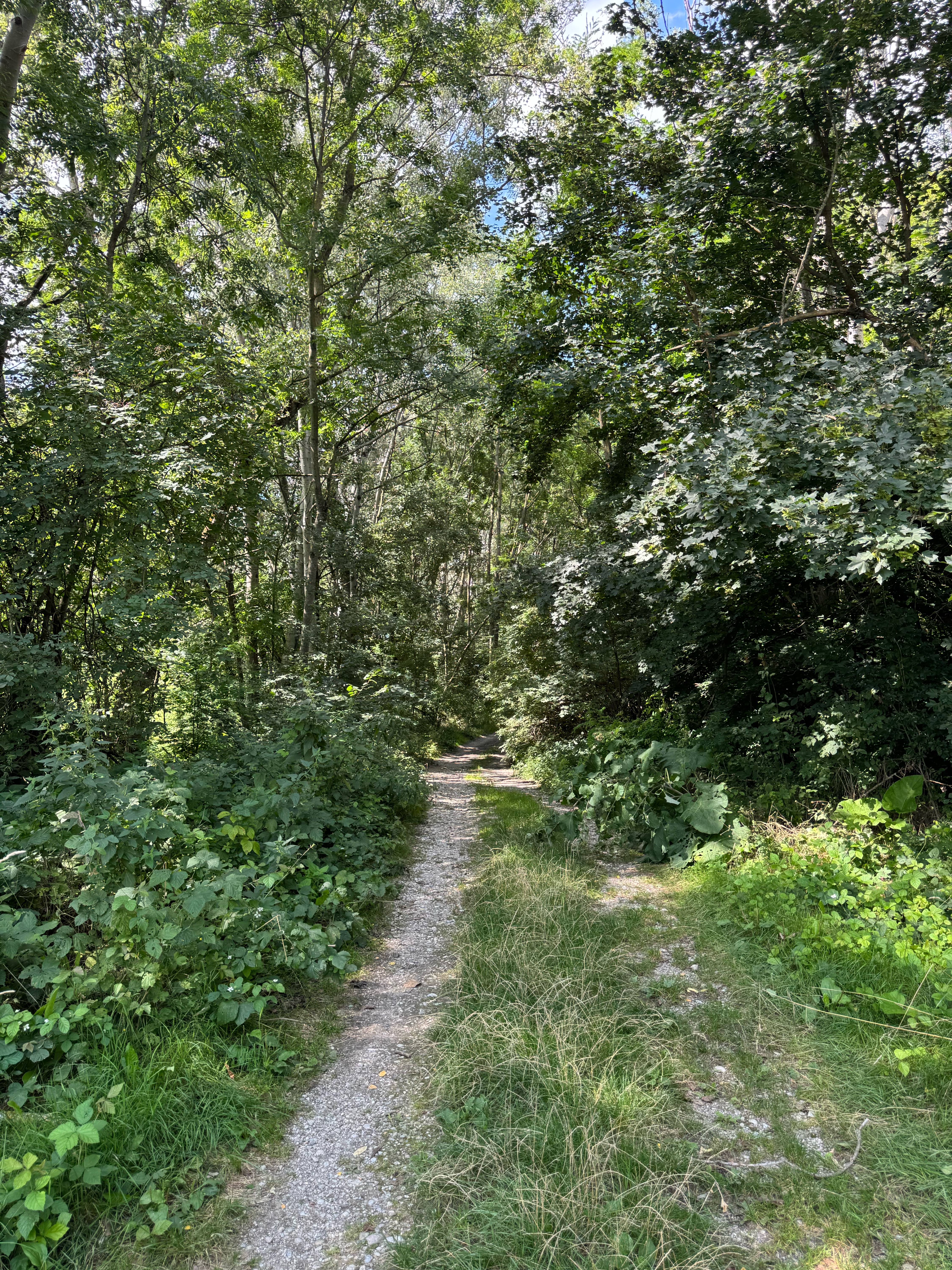
Beautiful easy route with a gentle elevation. Partly bike path and road. Riding time approx. 2 hours.
- -:--
- Duration
- 34.1 km
- Distance
- 109 m
- Ascent
- 110 m
- Descent
- ---
- Avg. speed
- 323 m
- Max. altitude
Route quality
Waytypes & surfaces along the route
Waytypes
Quiet road
14.3 km
(42 %)
Track
8.2 km
(24 %)
Surfaces
Paved
23.6 km
(69 %)
Unpaved
2.4 km
(7 %)
Asphalt
22.5 km
(66 %)
Ground
1.4 km
(4 %)
Continue with Bikemap
Use, edit, or download this cycling route
You would like to ride Weikersdorfrunde or customize it for your own trip? Here is what you can do with this Bikemap route:
Free features
- Save this route as favorite or in collections
- Copy & plan your own version of this route
- Sync your route with Garmin or Wahoo
Premium features
Free trial for 3 days, or one-time payment. More about Bikemap Premium.
- Navigate this route on iOS & Android
- Export a GPX / KML file of this route
- Create your custom printout (try it for free)
- Download this route for offline navigation
Discover more Premium features.
Get Bikemap PremiumFrom our community
Other popular routes starting in Theresienfeld
 Kleine Abendrunde WN
- Distance
- 27.2 km
- Ascent
- 76 m
- Descent
- 75 m
- Location
- Theresienfeld, Lower Austria, Austria
 Abendrunde nördlich von Wiener Neustadt
- Distance
- 27.3 km
- Ascent
- 82 m
- Descent
- 83 m
- Location
- Theresienfeld, Lower Austria, Austria
 Runden flach
- Distance
- 24.9 km
- Ascent
- 59 m
- Descent
- 61 m
- Location
- Theresienfeld, Lower Austria, Austria
 wn nk puchberg waldegg wn
- Distance
- 75 km
- Ascent
- 478 m
- Descent
- 477 m
- Location
- Theresienfeld, Lower Austria, Austria
 WN - Katzelsdorf -Sauerbrunn - WN
- Distance
- 30.2 km
- Ascent
- 218 m
- Descent
- 222 m
- Location
- Theresienfeld, Lower Austria, Austria
 WN-Dreistetten-WN
- Distance
- 35.6 km
- Ascent
- 305 m
- Descent
- 307 m
- Location
- Theresienfeld, Lower Austria, Austria
 Mit der Apple Watch am 30. Juli, 12:00 aufgenommen
- Distance
- 20.7 km
- Ascent
- 57 m
- Descent
- 57 m
- Location
- Theresienfeld, Lower Austria, Austria
 Waldrundal
- Distance
- 22.4 km
- Ascent
- 294 m
- Descent
- 292 m
- Location
- Theresienfeld, Lower Austria, Austria
Open it in the app