HOLZH PFAFF WEISSENH
- 52.5 km
- 148 m
- 148 m
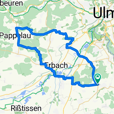
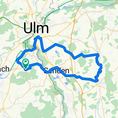
- Staig, Baden-Wurttemberg, Germany
A cycling route starting in Staig, Baden-Wurttemberg, Germany.
Overview
Im Mittelpunkt seht das Lonetal. Dazwischen liegen weite Hochflächen und die typische Alblandschaft. Zurück geht es ab Blaustein der Blau entlang nach Ulm. Die Strecke ist weitgehend asphaltiert. Durch das Lonetal feingeschotterte, gut befahrbare Strecke.
created this 10 years ago
Route quality
Track
17.4 km
(25 %)
Road
14.6 km
(21 %)
Paved
55 km
(79 %)
Unpaved
3.5 km
(5 %)
Asphalt
49.4 km
(71 %)
Paved (undefined)
5.6 km
(8 %)
Continue with Bikemap
You would like to ride Ulm-Lonetal-Loneursprung-Ulm or customize it for your own trip? Here is what you can do with this Bikemap route:
Free trial for 3 days, or one-time payment. More about Bikemap Premium.
Discover more Premium features.
Get Bikemap PremiumFrom our community
Open it in the app