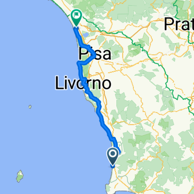
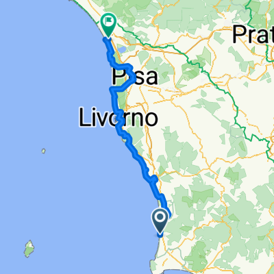
San Vincenzo - Follonica
- 35.2 km
- 398 m
- 404 m
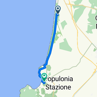
- San Vincenzo, Tuscany, Italy
A cycling route starting in San Vincenzo, Tuscany, Italy.
Overview
created this 10 years ago
Route quality
Road
22.7 km
(22 %)
Quiet road
17.6 km
(17 %)
Paved
78.6 km
(76 %)
Unpaved
1 km
(1 %)
Asphalt
78.6 km
(76 %)
Unpaved (undefined)
1 km
(1 %)
Undefined
23.8 km
(23 %)
Route highlights

Continue with Bikemap
You would like to ride Aufnahme vom 3. Mai, 9:34 or customize it for your own trip? Here is what you can do with this Bikemap route:
Free trial for 3 days, or one-time payment. More about Bikemap Premium.
Discover more Premium features.
Get Bikemap PremiumFrom our community
Open it in the app