

Pathfindertour Massif du Wintersberg et du Wasenkoepfel
A cycling route starting in Oberbronn, Grand Est, France.
Overview
About this route
Scout tour poorly signposted in places, I tried to follow the correct route. On the Garmin watch: 40 km, average 11.5 km/h, 2026 m elevation gain, 247 Wh.
- -:--
- Duration
- 39.7 km
- Distance
- 1,012 m
- Ascent
- 1,012 m
- Descent
- ---
- Avg. speed
- ---
- Max. altitude

Continue with Bikemap
Use, edit, or download this cycling route
You would like to ride Pathfindertour Massif du Wintersberg et du Wasenkoepfel or customize it for your own trip? Here is what you can do with this Bikemap route:
Free features
- Save this route as favorite or in collections
- Copy & plan your own version of this route
- Sync your route with Garmin or Wahoo
Premium features
Free trial for 3 days, or one-time payment. More about Bikemap Premium.
- Navigate this route on iOS & Android
- Export a GPX / KML file of this route
- Create your custom printout (try it for free)
- Download this route for offline navigation
Discover more Premium features.
Get Bikemap PremiumFrom our community
Other popular routes starting in Oberbronn
 1 Rue du Printemps d'Alsace, Baerenthal nach 7A Rue de la Hardt, Sturzelbronn
- Distance
- 15.9 km
- Ascent
- 356 m
- Descent
- 314 m
- Location
- Oberbronn, Grand Est, France
 philippsbourg 01-43km
- Distance
- 42.2 km
- Ascent
- 545 m
- Descent
- 545 m
- Location
- Oberbronn, Grand Est, France
 Zinswiller 01-37 km
- Distance
- 36.7 km
- Ascent
- 840 m
- Descent
- 838 m
- Location
- Oberbronn, Grand Est, France
 Hanauer zum Aussichtsfelsen nach Bellerstein
- Distance
- 2.8 km
- Ascent
- 97 m
- Descent
- 83 m
- Location
- Oberbronn, Grand Est, France
 Lac de Hanau 38Km 440m
- Distance
- 38.1 km
- Ascent
- 368 m
- Descent
- 368 m
- Location
- Oberbronn, Grand Est, France
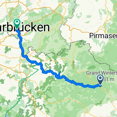 05 Saarbrücken
- Distance
- 67.6 km
- Ascent
- 864 m
- Descent
- 886 m
- Location
- Oberbronn, Grand Est, France
 Bthal-Don-Dab-Saverne
- Distance
- 196.3 km
- Ascent
- 1,655 m
- Descent
- 1,666 m
- Location
- Oberbronn, Grand Est, France
 oberbroon
- Distance
- 119.4 km
- Ascent
- 735 m
- Descent
- 736 m
- Location
- Oberbronn, Grand Est, France
Open it in the app