

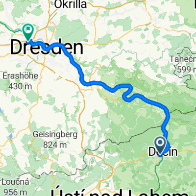
Recording from 5. 5. 9:45
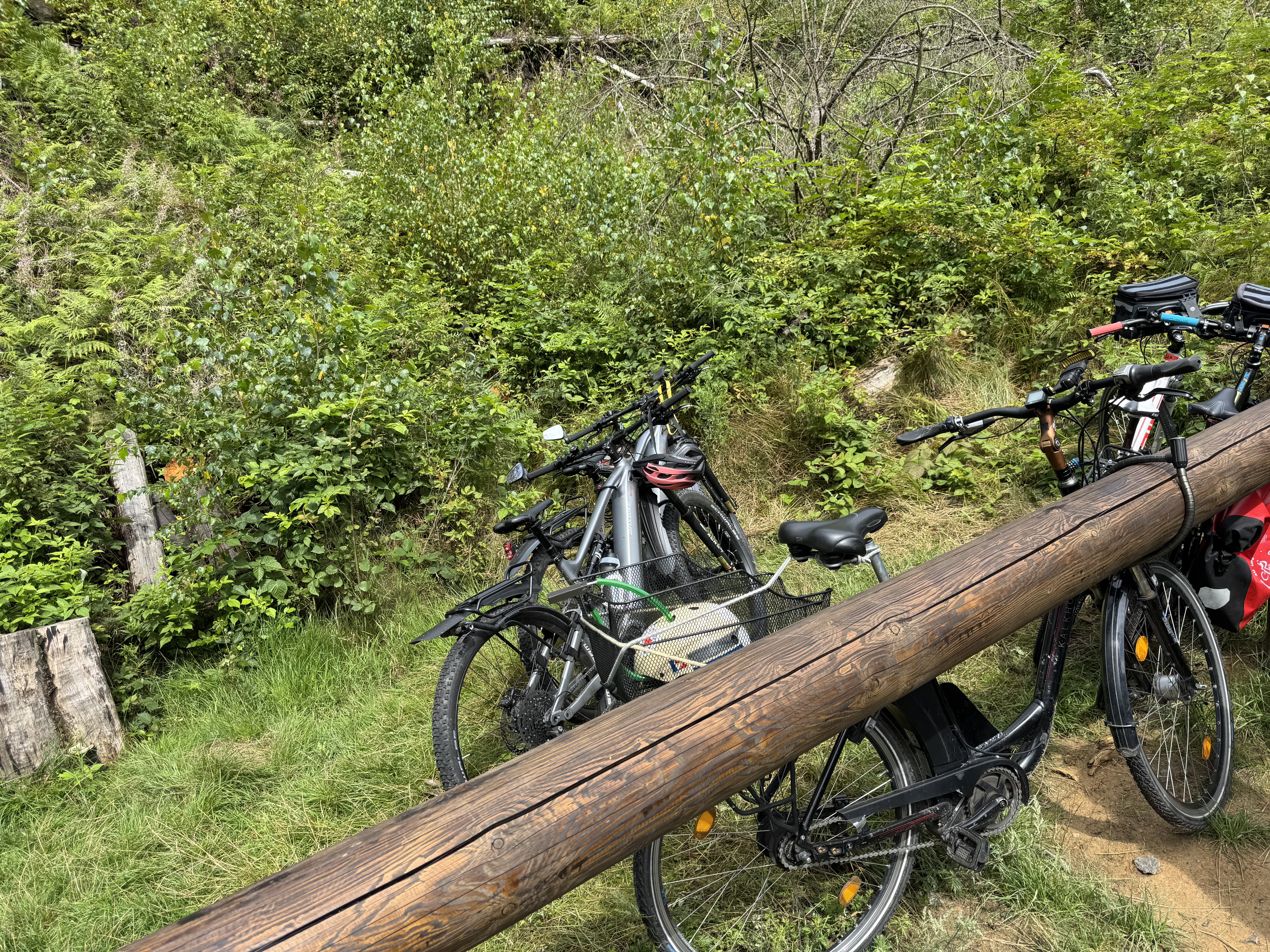
A cycling route starting in Děčín, Ústecký kraj, Czechia.
Overview
About this route
Boletice Bukovka Vernerice Zubrnice M.Brezno Boletice
- 3 h 34 min
- Duration
- 42.8 km
- Distance
- 653 m
- Ascent
- 654 m
- Descent
- 12 km/h
- Avg. speed
- ---
- Max. altitude

Route quality
Waytypes & surfaces along the route
Waytypes
Cycleway
9 km
(21 %)
Road
5.1 km
(12 %)
Surfaces
Paved
18.4 km
(43 %)
Unpaved
2.1 km
(5 %)
Asphalt
18.4 km
(43 %)
Gravel
1.7 km
(4 %)
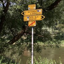
Route highlights
Points of interest along the route

Point of interest after 6.8 km

Point of interest after 9.1 km

Point of interest after 9.1 km

Point of interest after 9.1 km

Point of interest after 9.1 km

Point of interest after 9.1 km
Continue with Bikemap
Use, edit, or download this cycling route
You would like to ride Recording from 5. 5. 9:45 or customize it for your own trip? Here is what you can do with this Bikemap route:
Free features
- Save this route as favorite or in collections
- Copy & plan your own version of this route
- Sync your route with Garmin or Wahoo
Premium features
Free trial for 3 days, or one-time payment. More about Bikemap Premium.
- Navigate this route on iOS & Android
- Export a GPX / KML file of this route
- Create your custom printout (try it for free)
- Download this route for offline navigation
Discover more Premium features.
Get Bikemap PremiumFrom our community
Other popular routes starting in Děčín
 Polabí do Schmilka
- Distance
- 18.1 km
- Ascent
- 86 m
- Descent
- 138 m
- Location
- Děčín, Ústecký kraj, Czechia
 Polabí do Zámecká
- Distance
- 18.2 km
- Ascent
- 97 m
- Descent
- 105 m
- Location
- Děčín, Ústecký kraj, Czechia
 Svatopluka Čecha, Děčín až E 3, Hřensko
- Distance
- 17.6 km
- Ascent
- 113 m
- Descent
- 198 m
- Location
- Děčín, Ústecký kraj, Czechia
 Bike Heroes - Stage 3
- Distance
- 40.3 km
- Ascent
- 358 m
- Descent
- 274 m
- Location
- Děčín, Ústecký kraj, Czechia
 Československé armády do 17. listopadu
- Distance
- 2.9 km
- Ascent
- 26 m
- Descent
- 73 m
- Location
- Děčín, Ústecký kraj, Czechia
 Elba-4: From Děčín to Rathen
- Distance
- 75.5 km
- Ascent
- 672 m
- Descent
- 710 m
- Location
- Děčín, Ústecký kraj, Czechia
 Ústecká, Děčín až Ústecká, Děčín
- Distance
- 55.3 km
- Ascent
- 3,312 m
- Descent
- 3,310 m
- Location
- Děčín, Ústecký kraj, Czechia
 Svatopluka Čecha, Děčín až Fährweg, Rathen
- Distance
- 40.7 km
- Ascent
- 456 m
- Descent
- 610 m
- Location
- Děčín, Ústecký kraj, Czechia
Open it in the app