Carretera Austral 19.Etappe Cochrane - Rio Nadis
A cycling route starting in Cochrane, Aysén, Chile.
Overview
About this route
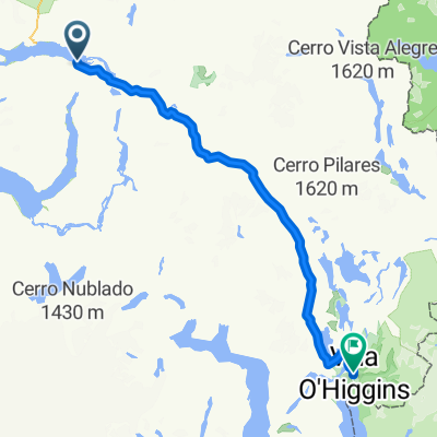
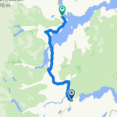
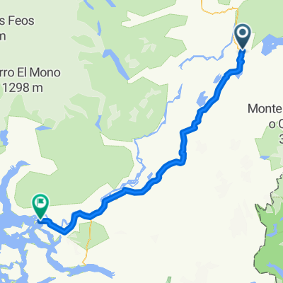
We are woken up by the sound of water, as the weather forecasters predicted, it is raining. We want to grab a beer in Cochrane for the obligatory welcome ceremony at the stage location, but the nice girl at the supermarket tells me that they don't sell alcohol before 10 am. Nevertheless, we start at 9:30 and despite the very rough track, we make good progress. The route climbs moderately, and around midday the sun breaks through. We pass Lago Chacabuco and continue over a plateau at about 500 meters elevation. Afterwards, thanks to the dedication of Chilean road workers, the track improves again. After a thrilling descent down to the Rio Baker, we ride along the river for a while and find a beautiful spot to camp at Puente Rio Nadis. Dinner preparation is now well rehearsed; once again, there's Pasta Zugo ala amatriciana and Merlot, and the evening ends with a final Pisco by the campfire.
- -:--
- Duration
- 54.4 km
- Distance
- 626 m
- Ascent
- 685 m
- Descent
- ---
- Avg. speed
- ---
- Max. altitude
Route quality
Waytypes & surfaces along the route
Waytypes
Cycleway
53.8 km
(99 %)
Quiet road
0.5 km
(1 %)
Surfaces
Paved
6.5 km
(12 %)
Unpaved
47.8 km
(88 %)
Gravel
47.8 km
(88 %)
Asphalt
5.4 km
(10 %)
Continue with Bikemap
Use, edit, or download this cycling route
You would like to ride Carretera Austral 19.Etappe Cochrane - Rio Nadis or customize it for your own trip? Here is what you can do with this Bikemap route:
Free features
- Save this route as favorite or in collections
- Copy & plan your own version of this route
- Sync your route with Garmin or Wahoo
Premium features
Free trial for 3 days, or one-time payment. More about Bikemap Premium.
- Navigate this route on iOS & Android
- Export a GPX / KML file of this route
- Create your custom printout (try it for free)
- Download this route for offline navigation
Discover more Premium features.
Get Bikemap PremiumFrom our community
Other popular routes starting in Cochrane
- Los Mellizos (30 km)
- Distance
- 29.3 km
- Ascent
- 497 m
- Descent
- 495 m
- Location
- Cochrane, Aysén, Chile
- Ruta Sendero El aguila
- Distance
- 15 km
- Ascent
- 423 m
- Descent
- 424 m
- Location
- Cochrane, Aysén, Chile
- Ruta Playa Vidal
- Distance
- 31.4 km
- Ascent
- 719 m
- Descent
- 718 m
- Location
- Cochrane, Aysén, Chile
- Cochrane to villa o'Higgins
- Distance
- 276.1 km
- Ascent
- 1,447 m
- Descent
- 1,332 m
- Location
- Cochrane, Aysén, Chile
- E 5 Dia C. Aust ALDANA - COCHRANE
- Distance
- 64.8 km
- Ascent
- 1,146 m
- Descent
- 1,229 m
- Location
- Cochrane, Aysén, Chile
- Carretera Austral Cochrane -Coyhaique
- Distance
- 329.5 km
- Ascent
- 2,415 m
- Descent
- 2,318 m
- Location
- Cochrane, Aysén, Chile
- Cochrane - Desembocadura Río Baker
- Distance
- 121.1 km
- Ascent
- 1,350 m
- Descent
- 1,348 m
- Location
- Cochrane, Aysén, Chile
- F 6 Dia C. Aust R COCHRANE - LAGO VARGAS
- Distance
- 69.8 km
- Ascent
- 662 m
- Descent
- 767 m
- Location
- Cochrane, Aysén, Chile
Open it in the app