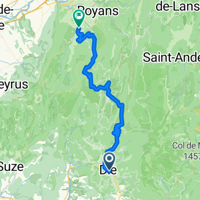
Die - La Mure + La Mure - Grenoble
- 206.7 km
- 5,077 m
- 5,302 m
- Die, Auvergne-Rhône-Alpes, France
A cycling route starting in Die, Auvergne-Rhône-Alpes, France.
Overview
created this 16 years ago
Route quality
Road
27.2 km
(41 %)
Quiet road
8 km
(12 %)
Paved
34.5 km
(52 %)
Asphalt
34.5 km
(52 %)
Undefined
31.9 km
(48 %)
Route highlights
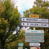
In deze bocht ben ik voor tegen een auto gevallen waarbij later bleek dat de knie gebroken was.
Continue with Bikemap
You would like to ride Ronde Colde Marignac en Col de la Croix or customize it for your own trip? Here is what you can do with this Bikemap route:
Free trial for 3 days, or one-time payment. More about Bikemap Premium.
Discover more Premium features.
Get Bikemap PremiumFrom our community
Open it in the app