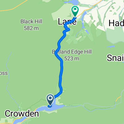
Glossop
- 61.9 km
- 1,069 m
- 1,069 m
- Glossop, England, United Kingdom
A cycling route starting in Glossop, England, United Kingdom.
Overview
Includes the Snake Pass, Edale Valley, Mam Nick, Winnat's Pass, Stanage Edge, the Strines and Holme Moss.
(cloned from route 1906348)created this 10 years ago
Route quality
Road
37.4 km
(28 %)
Quiet road
34.7 km
(26 %)
Paved
74.8 km
(56 %)
Unpaved
2.7 km
(2 %)
Asphalt
74.8 km
(56 %)
Gravel
2.7 km
(2 %)
Undefined
56.1 km
(42 %)
Continue with Bikemap
You would like to ride High Peak Hog - Whole Hog or customize it for your own trip? Here is what you can do with this Bikemap route:
Free trial for 3 days, or one-time payment. More about Bikemap Premium.
Discover more Premium features.
Get Bikemap PremiumFrom our community
Open it in the app