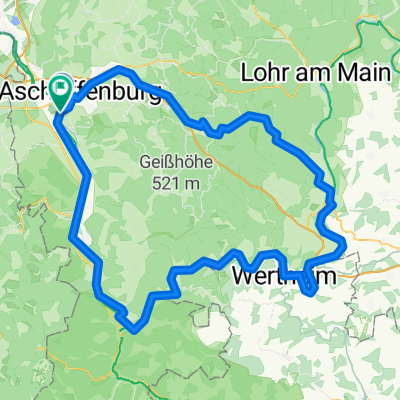
Kastanienweg nach Kastanienweg
- 54.3 km
- 798 m
- 851 m
- Aschaffenburg, Bavaria, Germany
A cycling route starting in Aschaffenburg, Bavaria, Germany.
Overview
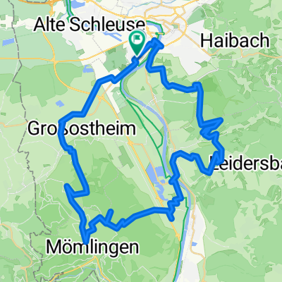
Stage 2 Herne - Olympic: Along the Main, Erf, Tauber, and Wörnitz to the Danube
created this 10 years ago
Route quality
Quiet road
81.1 km
(31 %)
Track
68.1 km
(26 %)
Paved
204.2 km
(78 %)
Unpaved
13.1 km
(5 %)
Asphalt
193.7 km
(74 %)
Gravel
10.5 km
(4 %)
Continue with Bikemap
You would like to ride 9.1_Aschaffenburg - Donauwoerth or customize it for your own trip? Here is what you can do with this Bikemap route:
Free trial for 3 days, or one-time payment. More about Bikemap Premium.
Discover more Premium features.
Get Bikemap PremiumFrom our community
Open it in the app