

P - L - KVR Route - with descent back to Penticton
A cycling route starting in Kelowna, British Columbia, Canada.
Overview
About this route
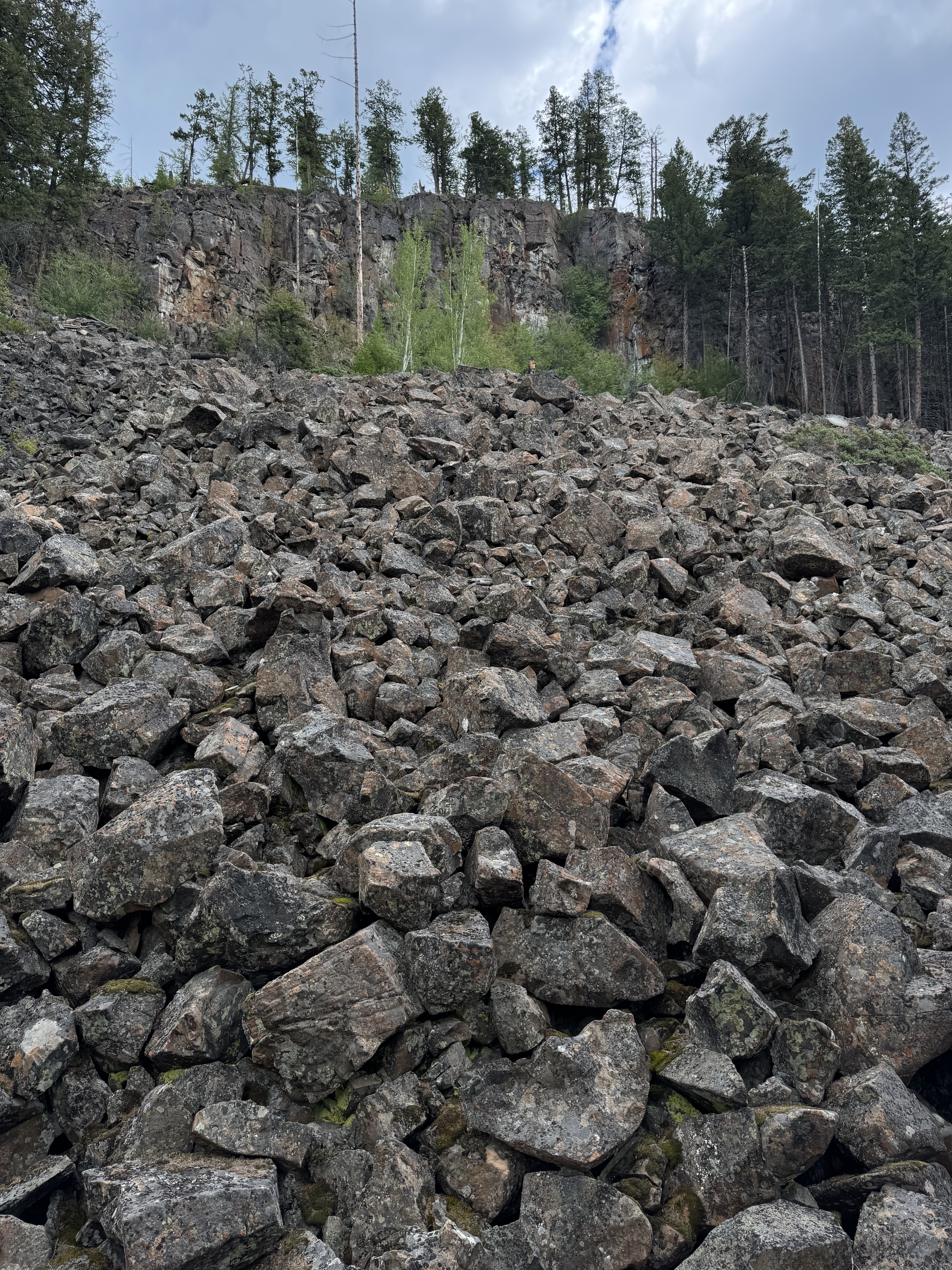
We start at the Myra Canyon parking lot after a shuttle ride up to Kelowna. The first 10 km trace the contours of Myra Canyon and cross 18 trestles. The next 10 km then skirt the boundary of Myra-Bellevue Provincial Park and head for the last of the big trestles. It's another 15 km (great views but this is an active logging road so expect some washboards) as we head back to Chute Lake (35 km) for lunch and a slice of homemade apple pie. Then, if you're up for it, a long but incredibly scenic descent back to Penticton. There is an "route edit" option here. We can ferry you to the far north part of the second switch back (at the 55 km mark) and you can do the last part of the ride from here. This eliminates about 20 km of riding but still lets you ride back into Naramata through the incredibly scenic "Little Tunnel". We either wrap up above Naramata or right in Penticton.
- -:--
- Duration
- 81 km
- Distance
- 141 m
- Ascent
- 1,072 m
- Descent
- ---
- Avg. speed
- ---
- Max. altitude

Route quality
Waytypes & surfaces along the route
Waytypes
Track
51 km
(63 %)
Cycleway
14.6 km
(18 %)
Surfaces
Paved
5.7 km
(7 %)
Unpaved
69.7 km
(86 %)
Gravel
45.4 km
(56 %)
Unpaved (undefined)
23.5 km
(29 %)
Route highlights
Points of interest along the route
Point of interest after 0.1 km
Parking Lot - Rest Stop and Turnaround Point
Point of interest after 9.5 km
Start of Myra Canyon section - trestles and tunnels
Point of interest after 38.1 km
Chute Lake Resort
Continue with Bikemap
Use, edit, or download this cycling route
You would like to ride P - L - KVR Route - with descent back to Penticton or customize it for your own trip? Here is what you can do with this Bikemap route:
Free features
- Save this route as favorite or in collections
- Copy & plan your own version of this route
- Split it into stages to create a multi-day tour
- Sync your route with Garmin or Wahoo
Premium features
Free trial for 3 days, or one-time payment. More about Bikemap Premium.
- Navigate this route on iOS & Android
- Export a GPX / KML file of this route
- Create your custom printout (try it for free)
- Download this route for offline navigation
Discover more Premium features.
Get Bikemap PremiumFrom our community
Other popular routes starting in Kelowna
 Hart Road to Hart Road
- Distance
- 31.9 km
- Ascent
- 496 m
- Descent
- 239 m
- Location
- Kelowna, British Columbia, Canada
 Lanfranco Road 995, Kelowna to Lakeshore Road 3089-3151, Kelowna
- Distance
- 9.9 km
- Ascent
- 77 m
- Descent
- 78 m
- Location
- Kelowna, British Columbia, Canada
 Kelowna Airport to Delta Grand Okanagan
- Distance
- 13.8 km
- Ascent
- 9 m
- Descent
- 87 m
- Location
- Kelowna, British Columbia, Canada
 Kettle Valley Railbed to Kettle Valley Railbed
- Distance
- 39.5 km
- Ascent
- 164 m
- Descent
- 208 m
- Location
- Kelowna, British Columbia, Canada
 Kettle Valley Railbed, Central Okanagan East to Kettle Valley Railbed, Central Okanagan East
- Distance
- 21.5 km
- Ascent
- 184 m
- Descent
- 189 m
- Location
- Kelowna, British Columbia, Canada
 Training Ride
- Distance
- 29.9 km
- Ascent
- 150 m
- Descent
- 143 m
- Location
- Kelowna, British Columbia, Canada
 Hidden History
- Distance
- 8.2 km
- Ascent
- 18 m
- Descent
- 22 m
- Location
- Kelowna, British Columbia, Canada
 Robyn's Route Kelowna
- Distance
- 3 km
- Ascent
- 184 m
- Descent
- 175 m
- Location
- Kelowna, British Columbia, Canada
Open it in the app