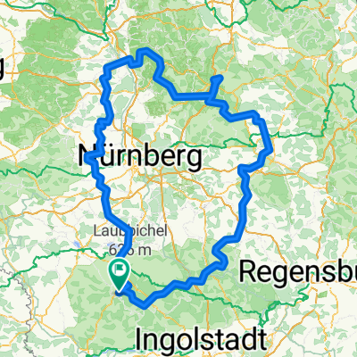
Altmühltal-Anlautertal Tour 2014
- 120.5 km
- 413 m
- 412 m
- Pappenheim, Bavaria, Germany
A cycling route starting in Pappenheim, Bavaria, Germany.
Overview
A day in Altmühltal to warm up. The second day in Anlautertal between Kinding and Burgsalach, continuing through Weißenburg and back to Pappenheim.
created this 10 years ago
Route quality
Road
15.7 km
(13 %)
Quiet road
7.2 km
(6 %)
Paved
104.9 km
(87 %)
Unpaved
1.2 km
(1 %)
Asphalt
104.9 km
(87 %)
Gravel
1.2 km
(1 %)
Undefined
14.5 km
(12 %)
Continue with Bikemap
You would like to ride Altmühltal-Anlautertal Tour 2014 or customize it for your own trip? Here is what you can do with this Bikemap route:
Free trial for 3 days, or one-time payment. More about Bikemap Premium.
Discover more Premium features.
Get Bikemap PremiumFrom our community
Open it in the app