

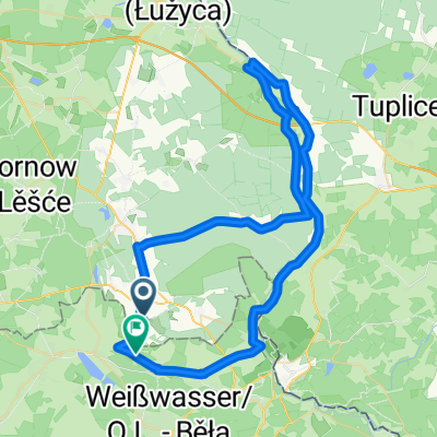
Tour 2 74km
A cycling route starting in Tschernitz, Brandenburg, Germany.
Overview
About this route
Landschaftlich schöne Rundtour, teilweise entlang der Neisse und durch den Muskauer Pücklerpark. Ein Stop am Kromlauer Rhodedodrenpark ist auch möglich.
- -:--
- Duration
- 73.9 km
- Distance
- 278 m
- Ascent
- 277 m
- Descent
- ---
- Avg. speed
- ---
- Max. altitude
Route quality
Waytypes & surfaces along the route
Waytypes
Quiet road
20.7 km
(28 %)
Road
18.5 km
(25 %)
Surfaces
Paved
58.4 km
(79 %)
Unpaved
3 km
(4 %)
Asphalt
57.6 km
(78 %)
Gravel
3 km
(4 %)
Continue with Bikemap
Use, edit, or download this cycling route
You would like to ride Tour 2 74km or customize it for your own trip? Here is what you can do with this Bikemap route:
Free features
- Save this route as favorite or in collections
- Copy & plan your own version of this route
- Sync your route with Garmin or Wahoo
Premium features
Free trial for 3 days, or one-time payment. More about Bikemap Premium.
- Navigate this route on iOS & Android
- Export a GPX / KML file of this route
- Create your custom printout (try it for free)
- Download this route for offline navigation
Discover more Premium features.
Get Bikemap PremiumFrom our community
Other popular routes starting in Tschernitz
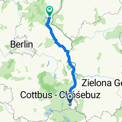 Tschernitz - Oderberg
- Distance
- 183.9 km
- Ascent
- 144 m
- Descent
- 183 m
- Location
- Tschernitz, Brandenburg, Germany
 Leichte Straußen Tour
- Distance
- 25.3 km
- Ascent
- 154 m
- Descent
- 153 m
- Location
- Tschernitz, Brandenburg, Germany
 Tour 2 74km
- Distance
- 73.9 km
- Ascent
- 278 m
- Descent
- 277 m
- Location
- Tschernitz, Brandenburg, Germany
 Route nach Jerischke Nr. 29, Neiße-Malxetal
- Distance
- 5.4 km
- Ascent
- 44 m
- Descent
- 34 m
- Location
- Tschernitz, Brandenburg, Germany
 Spremberger Straße 9, Felixsee nach Hauptstraße 26, Wiesengrund
- Distance
- 4.4 km
- Ascent
- 4 m
- Descent
- 31 m
- Location
- Tschernitz, Brandenburg, Germany
 Leichte Neißerunde
- Distance
- 65.5 km
- Ascent
- 142 m
- Descent
- 135 m
- Location
- Tschernitz, Brandenburg, Germany
 Oderradweg2
- Distance
- 115.5 km
- Ascent
- 122 m
- Descent
- 215 m
- Location
- Tschernitz, Brandenburg, Germany
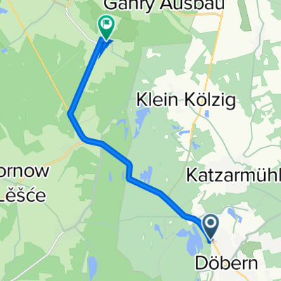 Forster Straße 65, Döbern nach Schulstraße 7, Wiesengrund
- Distance
- 7.8 km
- Ascent
- 59 m
- Descent
- 52 m
- Location
- Tschernitz, Brandenburg, Germany
Open it in the app