Elsterradweg, Etappe Pegau - Crossen
- 56.2 km
- 265 m
- 223 m
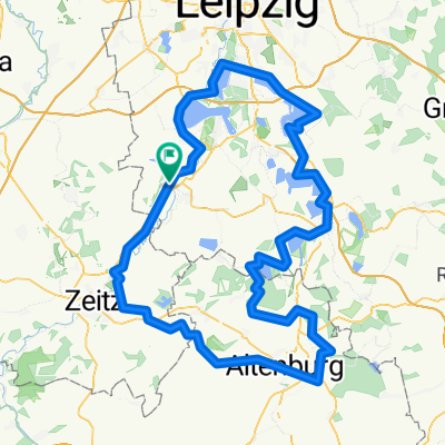
- Pegau, Saxony, Germany
A cycling route starting in Pegau, Saxony, Germany.
Overview
2nd day of our cycling tour
Hermsdorf-Pegau-Halle-Naumburg-Hermsdorf
The second day of our tour started in Pegau and led along the Elsterradweg through Markleeberg, Leipzig and Schkeuditz to Halle (Saale).
created this 10 years ago
Route quality
Track
24.4 km
(37 %)
Path
19.1 km
(29 %)
Paved
47.5 km
(72 %)
Unpaved
14.5 km
(22 %)
Asphalt
46.2 km
(70 %)
Gravel
12.5 km
(19 %)
Continue with Bikemap
You would like to ride Pegau - Halle (Saale) (2.Tag) or customize it for your own trip? Here is what you can do with this Bikemap route:
Free trial for 3 days, or one-time payment. More about Bikemap Premium.
Discover more Premium features.
Get Bikemap PremiumFrom our community
Open it in the app