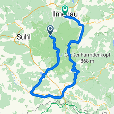


2017-05-07: Uwe's MTB Tour
- 57.2 km
- 575 m
- 843 m
- Schmiedefeld am Rennsteig, Thuringia, Germany
A cycling route starting in Schmiedefeld am Rennsteig, Thuringia, Germany.
Overview
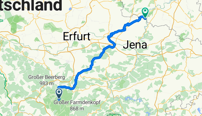
The Ilmtal-Radwanderweg is a 120 km long cycling route along the Ilm River, featuring low to medium difficulty levels, running from Allzunah above the Ilm source to the Ilm mouth in Großheringen and 2 km further to Kaatschen-Weichau on the Saale River, with a connection to the Saale Cycle Route. The cycling route mostly follows paved paths away from main roads. It is also suitable for families with children but is not a beginner route due to occasional climbs (even downstream). It is especially notable for its varied landscapes. Numerous sights such as castles, palaces, churches, forest areas, and parks invite stops, as do small and larger towns. More information at http://www.ilmtal-radweg.de/cms/website.php The text and image materials used here are from Wikipedia.
created this 10 years ago
Route quality
Track
43.1 km
(36 %)
Quiet road
25.2 km
(21 %)
Paved
100.7 km
(84 %)
Unpaved
13.2 km
(11 %)
Asphalt
99.5 km
(83 %)
Ground
6 km
(5 %)
Route highlights
Dienstedter Karsthöhle Die Dienstedter Karsthöhle, auch Oberfeldhöhlen Dienstedt genannt, liegt am steilen Südhang des Schenkenkopfberges. In der Höhle sieht man eindrucksvolle Erosionsformen. Die Besichtigung der Höhle ist nur nach Voranmeldung und nicht während der Wintermonate möglich.

Der Park an der Ilm ( „Ilmpark“) ist der größte und bekannteste Landschaftspark in Weimar. Er wurde seit seiner Errichtung im 18. Jahrhundert unter Beteiligung von Johann Wolfgang von Goethe kaum verändert und zählt damit zu den am besten erhaltenen Parkanlagen des Klassizismus und der Romantik. Cha
Continue with Bikemap
You would like to ride Ilmtal-Radweg or customize it for your own trip? Here is what you can do with this Bikemap route:
Free trial for 3 days, or one-time payment. More about Bikemap Premium.
Discover more Premium features.
Get Bikemap PremiumFrom our community
Open it in the app