Twin Cities Lakes and Rivers 100K
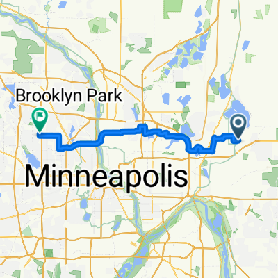
A cycling route starting in North Saint Paul, Minnesota, United States of America.
Overview
About this route
A tour of Minneapolis and St. Paul, mostly paved trails.Â
- -:--
- Duration
- 118.9 km
- Distance
- 312 m
- Ascent
- 298 m
- Descent
- ---
- Avg. speed
- ---
- Avg. speed
Route highlights
Points of interest along the route
Point of interest after 33.9 km
First rest stop in Minnehaha Park
Point of interest after 74.7 km
Great place to stop for lunch!
Continue with Bikemap
Use, edit, or download this cycling route
You would like to ride Twin Cities Lakes and Rivers 100K or customize it for your own trip? Here is what you can do with this Bikemap route:
Free features
- Save this route as favorite or in collections
- Copy & plan your own version of this route
- Sync your route with Garmin or Wahoo
Premium features
Free trial for 3 days, or one-time payment. More about Bikemap Premium.
- Navigate this route on iOS & Android
- Export a GPX / KML file of this route
- Create your custom printout (try it for free)
- Download this route for offline navigation
Discover more Premium features.
Get Bikemap PremiumFrom our community
Other popular routes starting in North Saint Paul
- B2B00376 55109>55112 via Co Rd C, County Dr, N Owasso Blvd
- Distance
- 17.4 km
- Ascent
- 52 m
- Descent
- 74 m
- Location
- North Saint Paul, Minnesota, United States of America
- Player1Ready to Stage1 Completed
- Distance
- 61.5 km
- Ascent
- 139 m
- Descent
- 141 m
- Location
- North Saint Paul, Minnesota, United States of America
- B2B00953 55119>55003 viaIvy/Maryland/StillwaterBlvd/LkElmoAv/30thStN/Stagecoach/5thAV
- Distance
- 25.9 km
- Ascent
- 112 m
- Descent
- 180 m
- Location
- North Saint Paul, Minnesota, United States of America
- B2B00290 55109>55422 via Cty C, St Anthony Pkwy, Victory Mem Dr
- Distance
- 30.8 km
- Ascent
- 126 m
- Descent
- 136 m
- Location
- North Saint Paul, Minnesota, United States of America
- Back to St. Paul
- Distance
- 13 km
- Ascent
- 42 m
- Descent
- 59 m
- Location
- North Saint Paul, Minnesota, United States of America
- Twin Cities Lakes and Rivers 100K
- Distance
- 118.9 km
- Ascent
- 312 m
- Descent
- 298 m
- Location
- North Saint Paul, Minnesota, United States of America
- B2B00179 55109>55121 via Gateway, Jackson & Delaware
- Distance
- 26 km
- Ascent
- 160 m
- Descent
- 159 m
- Location
- North Saint Paul, Minnesota, United States of America
- Brown's Creek and New Bridge
- Distance
- 22.6 km
- Ascent
- 170 m
- Descent
- 199 m
- Location
- North Saint Paul, Minnesota, United States of America
Open it in the app