Janos Hars Gugger hegy
- 42.2 km
- 762 m
- 761 m
- Budapest XII. kerület, Budapest, Hungary
A cycling route starting in Budapest XII. kerület, Budapest, Hungary.
Overview
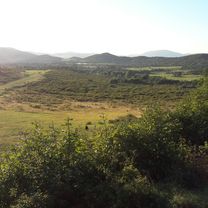
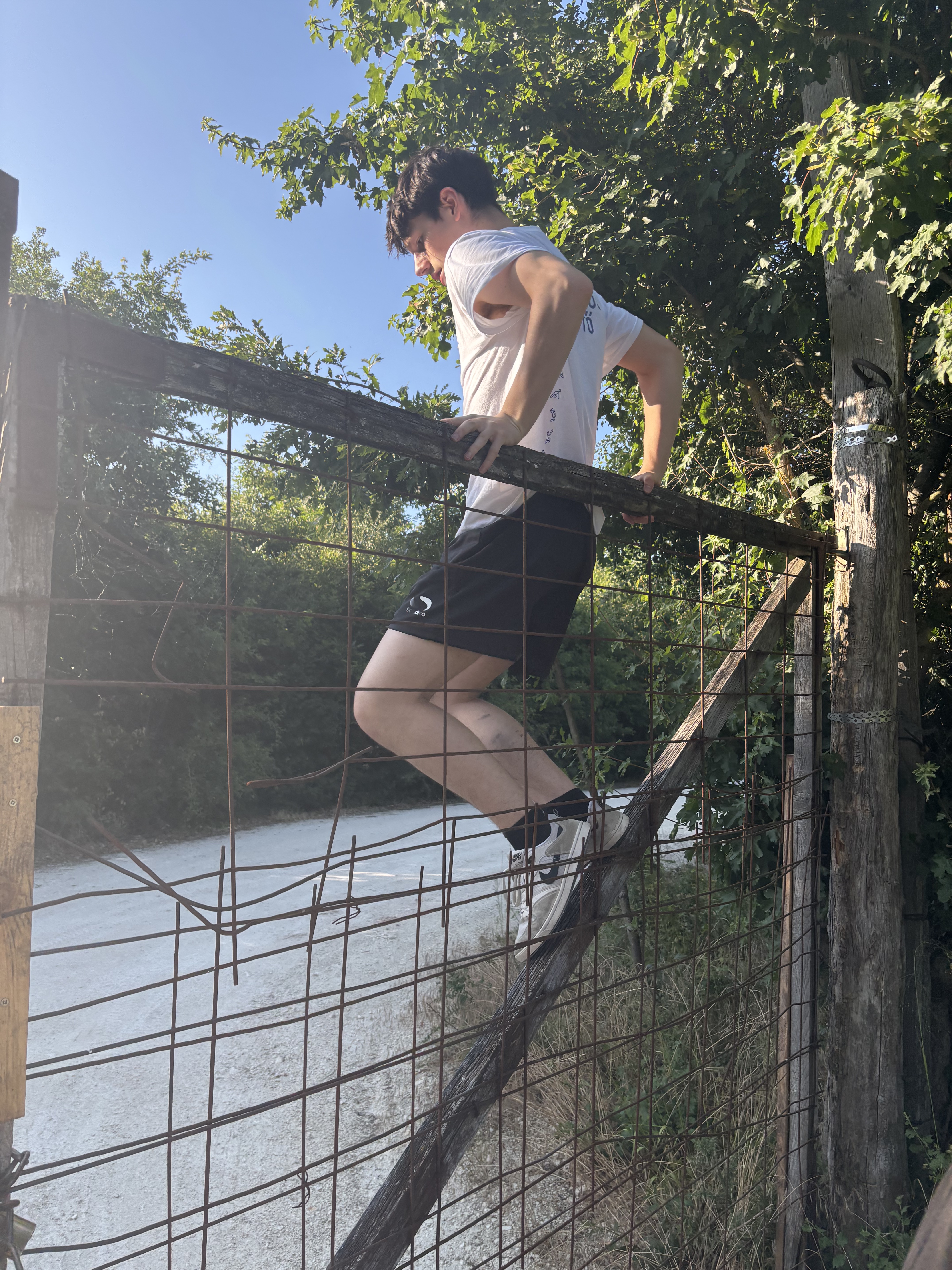
I tried to only mark forest paths. There will be places where it will be difficult to even lift the bike, but there we will push. I'm not sure this is optimal, there are many parallel routes, only in practice will the fine details become apparent.
created this 10 years ago
Route quality
Living street
9.4 km
(23 %)
Track
9 km
(22 %)
Paved
23.2 km
(57 %)
Unpaved
11.8 km
(29 %)
Asphalt
23.2 km
(57 %)
Ground
6.1 km
(15 %)
Continue with Bikemap
You would like to ride Budai hegység kalandozások (Normafa - Hűvösvölgy) or customize it for your own trip? Here is what you can do with this Bikemap route:
Free trial for 3 days, or one-time payment. More about Bikemap Premium.
Discover more Premium features.
Get Bikemap PremiumFrom our community
Open it in the app