ORNL-105km
A cycling route starting in Oak Ridge, Tennessee, United States.
Overview
About this route
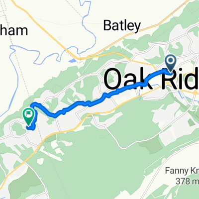
Ride from Bethel Valley Road: Counter Clockwise to Kingston and Loudon and back: 105km loop
- -:--
- Duration
- 105.3 km
- Distance
- 509 m
- Ascent
- 509 m
- Descent
- ---
- Avg. speed
- ---
- Max. altitude
Continue with Bikemap
Use, edit, or download this cycling route
You would like to ride ORNL-105km or customize it for your own trip? Here is what you can do with this Bikemap route:
Free features
- Save this route as favorite or in collections
- Copy & plan your own version of this route
- Split it into stages to create a multi-day tour
- Sync your route with Garmin or Wahoo
Premium features
Free trial for 3 days, or one-time payment. More about Bikemap Premium.
- Navigate this route on iOS & Android
- Export a GPX / KML file of this route
- Create your custom printout (try it for free)
- Download this route for offline navigation
Discover more Premium features.
Get Bikemap PremiumFrom our community
Other popular routes starting in Oak Ridge
Steady ride in Oak Ridge- Distance
- 13.1 km
- Ascent
- 659 m
- Descent
- 657 m
- Location
- Oak Ridge, Tennessee, United States
OR-Wst-53m- Distance
- 86.4 km
- Ascent
- 482 m
- Descent
- 482 m
- Location
- Oak Ridge, Tennessee, United States
ORNL-Tempo-75m-00- Distance
- 125.3 km
- Ascent
- 638 m
- Descent
- 637 m
- Location
- Oak Ridge, Tennessee, United States
ORNL-66m- Distance
- 107.3 km
- Ascent
- 409 m
- Descent
- 413 m
- Location
- Oak Ridge, Tennessee, United States
ORNL-70m- Distance
- 114.1 km
- Ascent
- 555 m
- Descent
- 550 m
- Location
- Oak Ridge, Tennessee, United States
ORNL-55- Distance
- 89.7 km
- Ascent
- 361 m
- Descent
- 361 m
- Location
- Oak Ridge, Tennessee, United States
ORNL-LK-62m- Distance
- 99.8 km
- Ascent
- 609 m
- Descent
- 611 m
- Location
- Oak Ridge, Tennessee, United States
ORNL-105km- Distance
- 105.3 km
- Ascent
- 509 m
- Descent
- 509 m
- Location
- Oak Ridge, Tennessee, United States
Open it in the app

