Savoyen Tag 3a: Chambéry - Aix
- 17.1 km
- 57 m
- 76 m
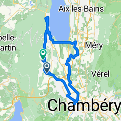
- La Motte-Servolex, Auvergne-Rhône-Alpes, France
A cycling route starting in La Motte-Servolex, Auvergne-Rhône-Alpes, France.
Overview
A short ride from home to rediscover rural Savoy, the way we like it. A bit of carrying when climbing up after the Col du Mollard, but only for a maximum of 300 meters.
created this 10 years ago
Route quality
Road
17.8 km
(29 %)
Quiet road
11.7 km
(19 %)
Paved
27.1 km
(44 %)
Unpaved
9.8 km
(16 %)
Asphalt
25.9 km
(42 %)
Gravel
8 km
(13 %)
Continue with Bikemap
You would like to ride TourVTTGranier or customize it for your own trip? Here is what you can do with this Bikemap route:
Free trial for 3 days, or one-time payment. More about Bikemap Premium.
Discover more Premium features.
Get Bikemap PremiumFrom our community
Open it in the app