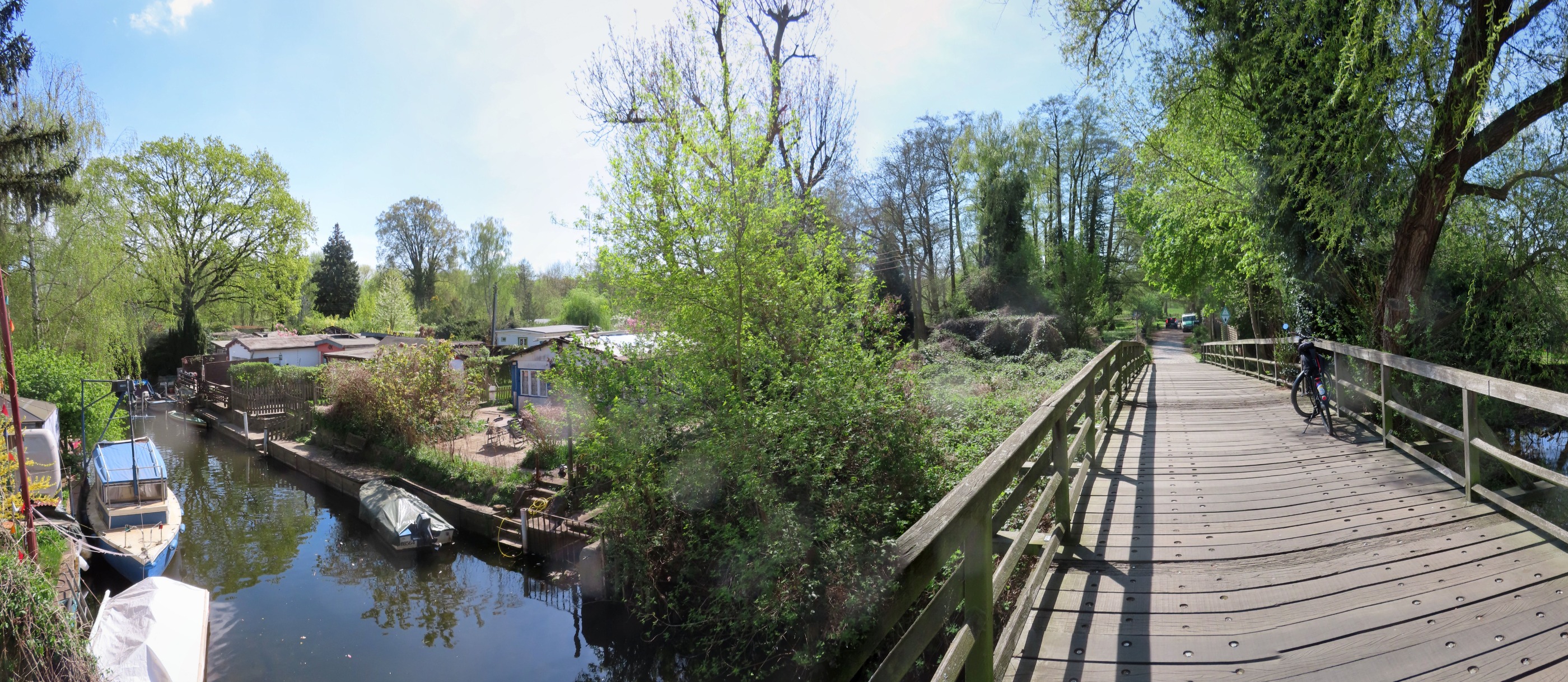
Mauerweg
A cycling route starting in Staaken, State of Berlin, Germany.
Overview
About this route
Reconstructed Berlin Wall Trail from Open CycleMap. The indicated times apply for a start at 09:00 and an average travel speed of about 20 km/h (cloned from route 741549) (cloned from route 2989734)
- -:--
- Duration
- 158.7 km
- Distance
- 151 m
- Ascent
- 149 m
- Descent
- ---
- Avg. speed
- ---
- Max. altitude
Route quality
Waytypes & surfaces along the route
Waytypes
Path
61.9 km
(39 %)
Quiet road
33.3 km
(21 %)
Surfaces
Paved
117.5 km
(74 %)
Unpaved
12.7 km
(8 %)
Asphalt
112.7 km
(71 %)
Ground
6.3 km
(4 %)
Route highlights
Points of interest along the route
Point of interest after 0 km
0km Start ca. 09:00 Uhr 158km ETA: 17:30Uhr
Point of interest after 19.1 km
20km ~ 10:00 Uhr
Point of interest after 19.9 km
S Heiligensee
Point of interest after 25.7 km
S Frohnau
Point of interest after 39.7 km
40km ~ 11:00 Uhr
Point of interest after 47.2 km
S Schönholz
Point of interest after 57.7 km
Brandenburger Tor 58km (ETA: ~ 11:50 Uhr)
Point of interest after 59 km
60km ~ 12:00 Uhr
Point of interest after 69.9 km
S Plänterwald
Point of interest after 78.1 km
U Rudow
Point of interest after 79.5 km
80km ~ 13:00 Uhr
Point of interest after 88.7 km
Verpflegungspunkt Codename: "A" 90km (ETA: 13:30 Uhr)
Point of interest after 97.5 km
S Lichtenrade
Point of interest after 99 km
100km ~ ETA 14:00 Uhr
Point of interest after 105.7 km
Verpflegungspunkt Codename "B" 107km (ETA: ~ 14:20Uhr)
Point of interest after 108 km
S Lichterfelde Süd
Point of interest after 119.9 km
120km ~ 15:00 Uhr
Point of interest after 125.4 km
S Griebnitzsee
Point of interest after 137.6 km
S Wansee ETA sollte bei ca. 15:45Uhr liegen. Die Fähre fährt nur jede volle Stunde!
Point of interest after 140.8 km
140km ~ 16:30
Point of interest after 150.9 km
150km
Point of interest after 158 km
Bhf Staaken
Continue with Bikemap
Use, edit, or download this cycling route
You would like to ride Mauerweg or customize it for your own trip? Here is what you can do with this Bikemap route:
Free features
- Save this route as favorite or in collections
- Copy & plan your own version of this route
- Split it into stages to create a multi-day tour
- Sync your route with Garmin or Wahoo
Premium features
Free trial for 3 days, or one-time payment. More about Bikemap Premium.
- Navigate this route on iOS & Android
- Export a GPX / KML file of this route
- Create your custom printout (try it for free)
- Download this route for offline navigation
Discover more Premium features.
Get Bikemap PremiumFrom our community
Other popular routes starting in Staaken
 Staaken-Treff - Bullengraben - Tiefwerder Wiesen - Murellenschlucht - Rhlebener Wiesen - Staakentreff
- Distance
- 18.4 km
- Ascent
- 78 m
- Descent
- 79 m
- Location
- Staaken, State of Berlin, Germany
 Mauerweg
- Distance
- 158.7 km
- Ascent
- 151 m
- Descent
- 149 m
- Location
- Staaken, State of Berlin, Germany
 Großer Havelland Rundkurs
- Distance
- 140.1 km
- Ascent
- 155 m
- Descent
- 158 m
- Location
- Staaken, State of Berlin, Germany
![[kurz] Spandau "Südschleife"](https://media.bikemap.net/routes/263628/staticmaps/in_8276c62e-0e44-489f-bf53-4fea8c6e4cec_400x400_bikemap-2021-3D-static.png) [kurz] Spandau "Südschleife"
[kurz] Spandau "Südschleife"- Distance
- 44.1 km
- Ascent
- 154 m
- Descent
- 148 m
- Location
- Staaken, State of Berlin, Germany
 Heiki und Peffi Jungfernfahrt
- Distance
- 6.1 km
- Ascent
- 14 m
- Descent
- 16 m
- Location
- Staaken, State of Berlin, Germany
![[kurz] Spandau "Südschleife"](https://media.bikemap.net/routes/3291085/staticmaps/in_6be5f1d2-e840-4117-9587-a15c02e35574_400x400_bikemap-2021-3D-static.png) [kurz] Spandau "Südschleife"
[kurz] Spandau "Südschleife"- Distance
- 44.1 km
- Ascent
- 118 m
- Descent
- 116 m
- Location
- Staaken, State of Berlin, Germany
 Falkensee-Berlin-Potsdam
- Distance
- 47 km
- Ascent
- 242 m
- Descent
- 241 m
- Location
- Staaken, State of Berlin, Germany
 Breddiner Weg 7A, Berlin nach Breddiner Weg 7A, Berlin
- Distance
- 24.1 km
- Ascent
- 98 m
- Descent
- 88 m
- Location
- Staaken, State of Berlin, Germany
Open it in the app

