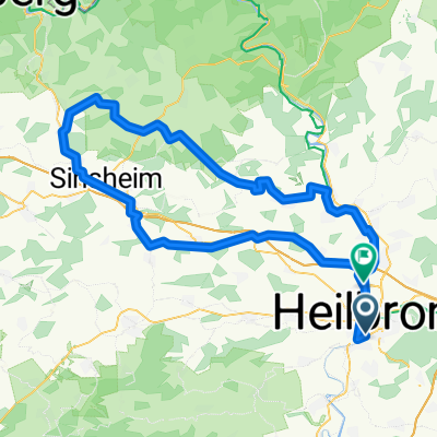
Neckarbisch 2 100km Sinsheim
- 96.1 km
- 1,007 m
- 1,025 m
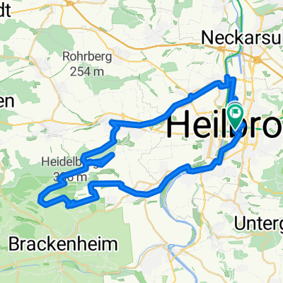
- Heilbronn, Baden-Wurttemberg, Germany
A cycling route starting in Heilbronn, Baden-Wurttemberg, Germany.
Overview
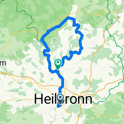
Von Heilbronn Stadtmitte am Salzbergwerk vorbei bei Bad Friedrichshall Bahnhof
created this 10 years ago
Route quality
Track
5.5 km
(37 %)
Path
4.8 km
(32 %)
Paved
13.3 km
(89 %)
Unpaved
0.1 km
(1 %)
Asphalt
13.3 km
(89 %)
Loose gravel
0.1 km
(1 %)
Undefined
1.5 km
(10 %)
Continue with Bikemap
You would like to ride Heilbronn(N) - Bad Friedrichshall or customize it for your own trip? Here is what you can do with this Bikemap route:
Free trial for 3 days, or one-time payment. More about Bikemap Premium.
Discover more Premium features.
Get Bikemap PremiumFrom our community
Open it in the app