

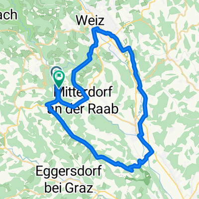
Gasthof Nicklwirt - Schöckl
A cycling route starting in Mitterdorf an der Raab, Styria, Austria.
Overview
About this route
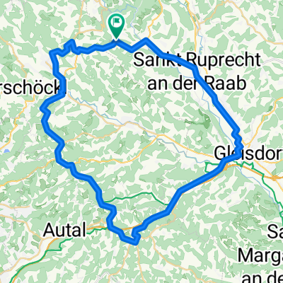
Vom Nicklwirt über St.Radegund auf den Schöckl
- -:--
- Duration
- 24.2 km
- Distance
- 1,061 m
- Ascent
- 290 m
- Descent
- ---
- Avg. speed
- 1,316 m
- Max. altitude
Route quality
Waytypes & surfaces along the route
Waytypes
Quiet road
14.9 km
(61 %)
Busy road
7.3 km
(30 %)
Surfaces
Paved
19.3 km
(80 %)
Unpaved
0.8 km
(3 %)
Asphalt
19.3 km
(80 %)
Gravel
0.6 km
(2 %)
Continue with Bikemap
Use, edit, or download this cycling route
You would like to ride Gasthof Nicklwirt - Schöckl or customize it for your own trip? Here is what you can do with this Bikemap route:
Free features
- Save this route as favorite or in collections
- Copy & plan your own version of this route
- Sync your route with Garmin or Wahoo
Premium features
Free trial for 3 days, or one-time payment. More about Bikemap Premium.
- Navigate this route on iOS & Android
- Export a GPX / KML file of this route
- Create your custom printout (try it for free)
- Download this route for offline navigation
Discover more Premium features.
Get Bikemap PremiumFrom our community
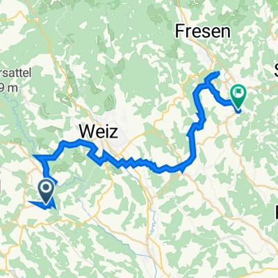
Other popular routes starting in Mitterdorf an der Raab
 My Tour
- Distance
- 3.4 km
- Ascent
- 86 m
- Descent
- 85 m
- Location
- Mitterdorf an der Raab, Styria, Austria
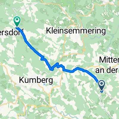
 Ruprecht-Rundfahrt am R11
- Distance
- 32.2 km
- Ascent
- 402 m
- Descent
- 401 m
- Location
- Mitterdorf an der Raab, Styria, Austria
 Tourenplanung Rabbtalradweg
- Distance
- 51.2 km
- Ascent
- 94 m
- Descent
- 227 m
- Location
- Mitterdorf an der Raab, Styria, Austria
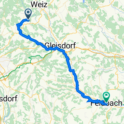
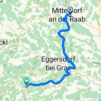 Route nach Römerweg 92, Kainbach bei Graz
- Distance
- 15.8 km
- Ascent
- 406 m
- Descent
- 244 m
- Location
- Mitterdorf an der Raab, Styria, Austria
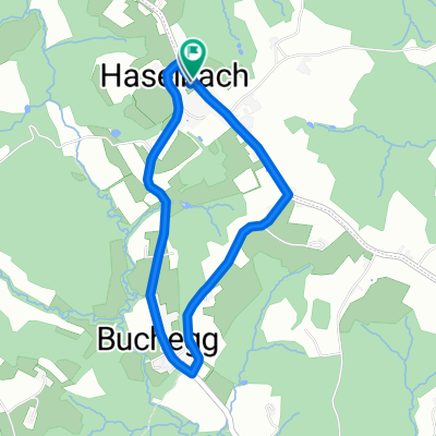
 Haselbach 68 nach Stockheim 28b
- Distance
- 10.2 km
- Ascent
- 370 m
- Descent
- 97 m
- Location
- Mitterdorf an der Raab, Styria, Austria
 Lassnitzhöhe Runde
- Distance
- 47.4 km
- Ascent
- 373 m
- Descent
- 373 m
- Location
- Mitterdorf an der Raab, Styria, Austria
 Ebenholzstraße 5c, Gschwendt nach Unterharl Abzw Kulm
- Distance
- 29.8 km
- Ascent
- 949 m
- Descent
- 909 m
- Location
- Mitterdorf an der Raab, Styria, Austria
 Ebenholzstraße 5a, Gschwendt nach Hauptplatz 30, Feldbach
- Distance
- 52.1 km
- Ascent
- 281 m
- Descent
- 564 m
- Location
- Mitterdorf an der Raab, Styria, Austria
Open it in the app