

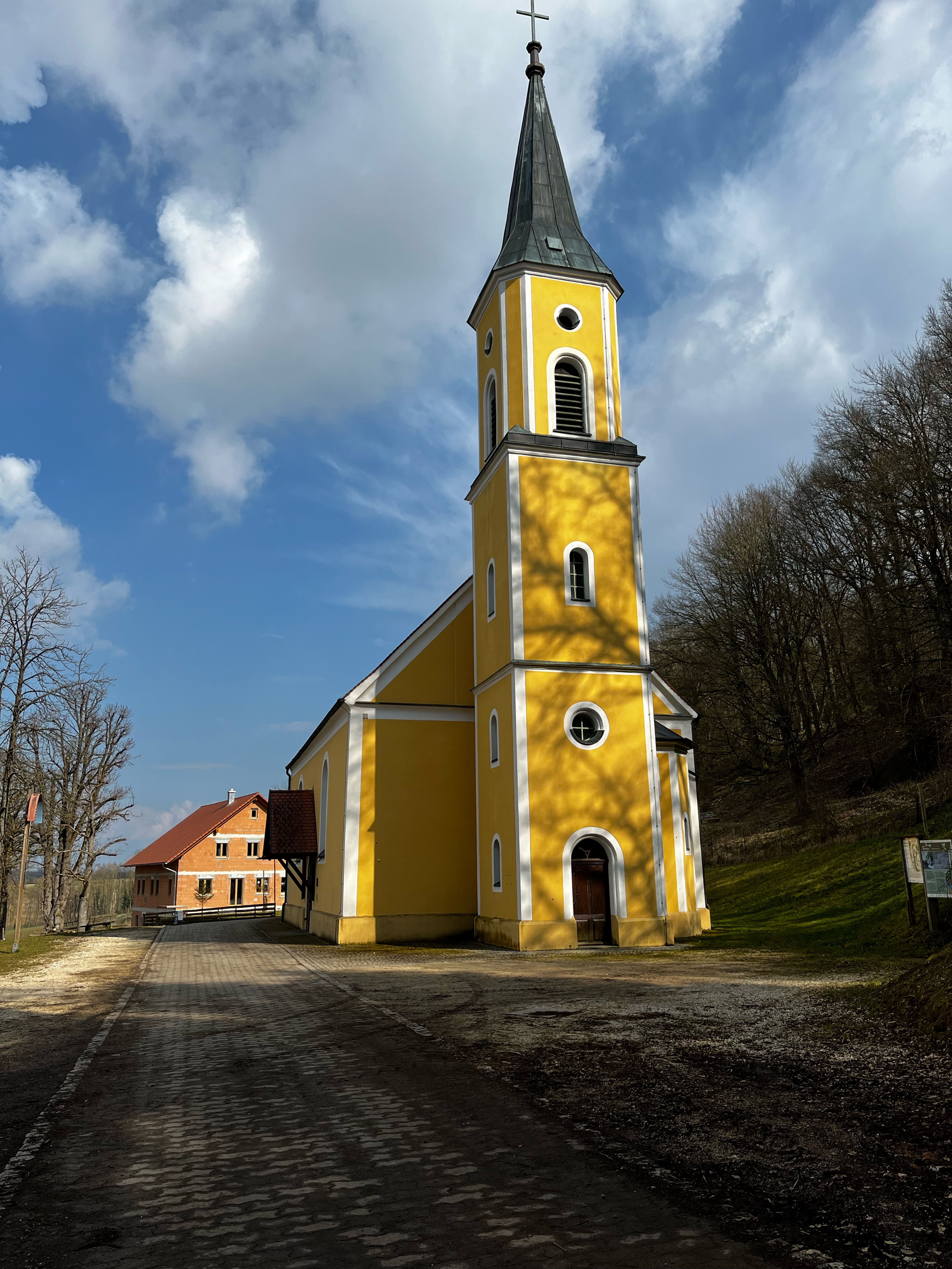
Amberg - Poppenricht - SuRo - Hahnbach - Neumühle - Raigering - Amberg
A cycling route starting in Amberg, Bavaria, Germany.
Overview
About this route
Abwechselung im Belag, in der ersten Hälfte bergiger.
- 2 h 30 min
- Duration
- 46.6 km
- Distance
- 376 m
- Ascent
- 377 m
- Descent
- 18.7 km/h
- Avg. speed
- ---
- Max. altitude

Route quality
Waytypes & surfaces along the route
Waytypes
Quiet road
18.6 km
(40 %)
Pedestrian area
7.1 km
(15 %)
Surfaces
Paved
27.3 km
(59 %)
Unpaved
6 km
(13 %)
Asphalt
25.4 km
(54 %)
Ground
1.8 km
(4 %)
Continue with Bikemap
Use, edit, or download this cycling route
You would like to ride Amberg - Poppenricht - SuRo - Hahnbach - Neumühle - Raigering - Amberg or customize it for your own trip? Here is what you can do with this Bikemap route:
Free features
- Save this route as favorite or in collections
- Copy & plan your own version of this route
- Sync your route with Garmin or Wahoo
Premium features
Free trial for 3 days, or one-time payment. More about Bikemap Premium.
- Navigate this route on iOS & Android
- Export a GPX / KML file of this route
- Create your custom printout (try it for free)
- Download this route for offline navigation
Discover more Premium features.
Get Bikemap PremiumFrom our community
Other popular routes starting in Amberg
 Citytriathlon Amberg - CTA 2011 - 10km Runde
- Distance
- 10.6 km
- Ascent
- 87 m
- Descent
- 89 m
- Location
- Amberg, Bavaria, Germany
 GeoTour2
- Distance
- 47.6 km
- Ascent
- 358 m
- Descent
- 358 m
- Location
- Amberg, Bavaria, Germany
 Mausberg
- Distance
- 41 km
- Ascent
- 506 m
- Descent
- 500 m
- Location
- Amberg, Bavaria, Germany
 Raigering - Trisching - Ellersdorf - Freudenberg - Raigering
- Distance
- 36 km
- Ascent
- 459 m
- Descent
- 459 m
- Location
- Amberg, Bavaria, Germany
 Durch's Ruhrgebiet der Oberpfalz
- Distance
- 38.8 km
- Ascent
- 450 m
- Descent
- 450 m
- Location
- Amberg, Bavaria, Germany
 Unbenannte Route
- Distance
- 32.2 km
- Ascent
- 433 m
- Descent
- 389 m
- Location
- Amberg, Bavaria, Germany
 Fünf Flüsse Tour an 7 Tagen
- Distance
- 300.9 km
- Ascent
- 451 m
- Descent
- 451 m
- Location
- Amberg, Bavaria, Germany
 Vilsquelle
- Distance
- 65.3 km
- Ascent
- 535 m
- Descent
- 530 m
- Location
- Amberg, Bavaria, Germany
Open it in the app