

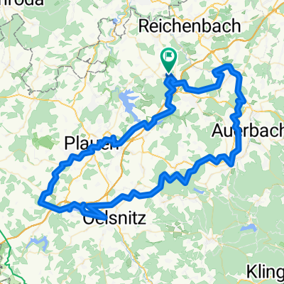
Vogtlandrunde
A cycling route starting in Limbach, Saxony, Germany.
Overview
About this route
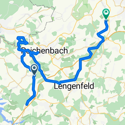
von Buchwald nach Treuen, dann zur Göltzschtalbrücke,über Greiz nach Reichenbach und über Lengenfeld nach Hause
- -:--
- Duration
- 55.8 km
- Distance
- 492 m
- Ascent
- 560 m
- Descent
- ---
- Avg. speed
- ---
- Max. altitude

Route quality
Waytypes & surfaces along the route
Waytypes
Busy road
17.7 km
(32 %)
Road
11.6 km
(21 %)
Surfaces
Paved
36.4 km
(65 %)
Unpaved
12.6 km
(23 %)
Asphalt
35.6 km
(64 %)
Unpaved (undefined)
4.1 km
(7 %)
Continue with Bikemap
Use, edit, or download this cycling route
You would like to ride Vogtlandrunde or customize it for your own trip? Here is what you can do with this Bikemap route:
Free features
- Save this route as favorite or in collections
- Copy & plan your own version of this route
- Sync your route with Garmin or Wahoo
Premium features
Free trial for 3 days, or one-time payment. More about Bikemap Premium.
- Navigate this route on iOS & Android
- Export a GPX / KML file of this route
- Create your custom printout (try it for free)
- Download this route for offline navigation
Discover more Premium features.
Get Bikemap PremiumFrom our community
Other popular routes starting in Limbach
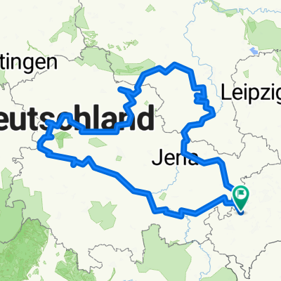
 Elster-Göltzschtal-Runde
- Distance
- 98.9 km
- Ascent
- 643 m
- Descent
- 643 m
- Location
- Limbach, Saxony, Germany
 Foschenroda - Veitenhäuser
- Distance
- 41.8 km
- Ascent
- 541 m
- Descent
- 539 m
- Location
- Limbach, Saxony, Germany
 Foschenroda - Wartburg - Eisleben - Naumburg - Foschenroda
- Distance
- 705.5 km
- Ascent
- 1,423 m
- Descent
- 1,425 m
- Location
- Limbach, Saxony, Germany
 Foschenroda - Herlasgrün - Rund um TS Pöhl - Christgrün - Foschenroda
- Distance
- 31.3 km
- Ascent
- 346 m
- Descent
- 345 m
- Location
- Limbach, Saxony, Germany
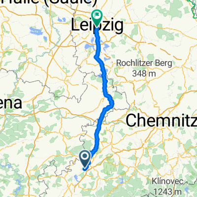 Limbach - Leipzig
- Distance
- 108.3 km
- Ascent
- 550 m
- Descent
- 868 m
- Location
- Limbach, Saxony, Germany
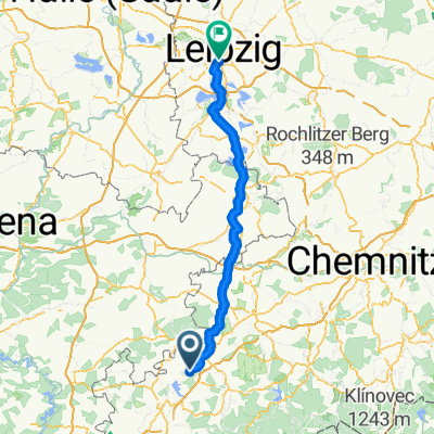 Limbach - Leipzig
- Distance
- 111.5 km
- Ascent
- 578 m
- Descent
- 884 m
- Location
- Limbach, Saxony, Germany
 Vogtlandrunde
- Distance
- 55.8 km
- Ascent
- 492 m
- Descent
- 560 m
- Location
- Limbach, Saxony, Germany
 X-Elster-1X - Pöhl - Gera
- Distance
- 68.2 km
- Ascent
- 761 m
- Descent
- 965 m
- Location
- Limbach, Saxony, Germany
Open it in the app