

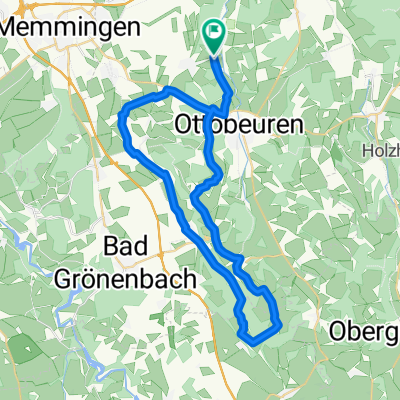
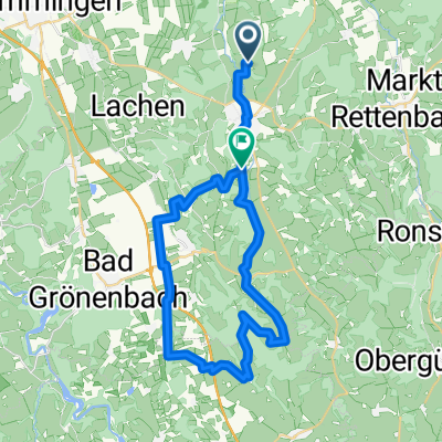
Hawangen-Ehwiesmühle-Hawangen
A cycling route starting in Wald, Bavaria, Germany.
Overview
About this route
Schöne Radtour zwischen Günztal und Illertal. Einkehr in der Ehwiesmühle mit seiner alten Freiluftkegelbahn.
(cloned from route 585413)- -:--
- Duration
- 44.7 km
- Distance
- 286 m
- Ascent
- 284 m
- Descent
- ---
- Avg. speed
- ---
- Max. altitude
Route quality
Waytypes & surfaces along the route
Waytypes
Quiet road
24.4 km
(54 %)
Path
8.4 km
(19 %)
Surfaces
Paved
27.8 km
(62 %)
Unpaved
1.4 km
(3 %)
Asphalt
27.7 km
(62 %)
Gravel
1.2 km
(3 %)
Continue with Bikemap
Use, edit, or download this cycling route
You would like to ride Hawangen-Ehwiesmühle-Hawangen or customize it for your own trip? Here is what you can do with this Bikemap route:
Free features
- Save this route as favorite or in collections
- Copy & plan your own version of this route
- Sync your route with Garmin or Wahoo
Premium features
Free trial for 3 days, or one-time payment. More about Bikemap Premium.
- Navigate this route on iOS & Android
- Export a GPX / KML file of this route
- Create your custom printout (try it for free)
- Download this route for offline navigation
Discover more Premium features.
Get Bikemap PremiumFrom our community
Other popular routes starting in Wald
 Hawangen-Ehwiesmühle-Hawangen
- Distance
- 44.7 km
- Ascent
- 286 m
- Descent
- 284 m
- Location
- Wald, Bavaria, Germany
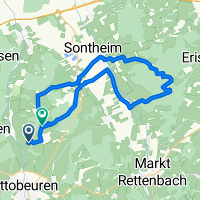
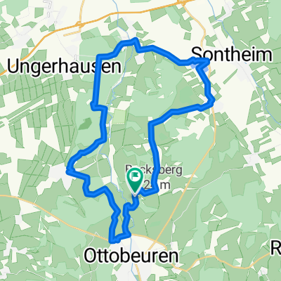 Westerheimerrunde
- Distance
- 25.8 km
- Ascent
- 185 m
- Descent
- 180 m
- Location
- Wald, Bavaria, Germany
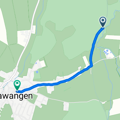 Gemütliche Route in Hawangen
- Distance
- 2 km
- Ascent
- 24 m
- Descent
- 12 m
- Location
- Wald, Bavaria, Germany
 Schachenbadrunde
- Distance
- 20.1 km
- Ascent
- 195 m
- Descent
- 252 m
- Location
- Wald, Bavaria, Germany
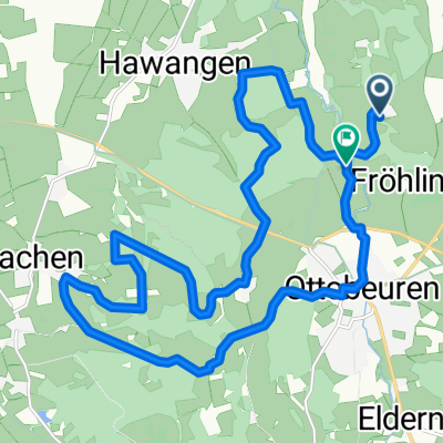
 Ehwiesmühle - Tour
- Distance
- 38.2 km
- Ascent
- 394 m
- Descent
- 405 m
- Location
- Wald, Bavaria, Germany
 Westerheimer Runde
- Distance
- 20.2 km
- Ascent
- 108 m
- Descent
- 200 m
- Location
- Wald, Bavaria, Germany
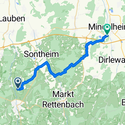 Mindelburg
- Distance
- 22.2 km
- Ascent
- 189 m
- Descent
- 232 m
- Location
- Wald, Bavaria, Germany
 Hochfirst Runde
- Distance
- 24.6 km
- Ascent
- 164 m
- Descent
- 162 m
- Location
- Wald, Bavaria, Germany
Open it in the app