- 77.1 km
- 275 m
- 249 m
- Oranienburg, Brandenburg, Germany
Wald Finow Wald
A cycling route starting in Oranienburg, Brandenburg, Germany.
Overview
About this route
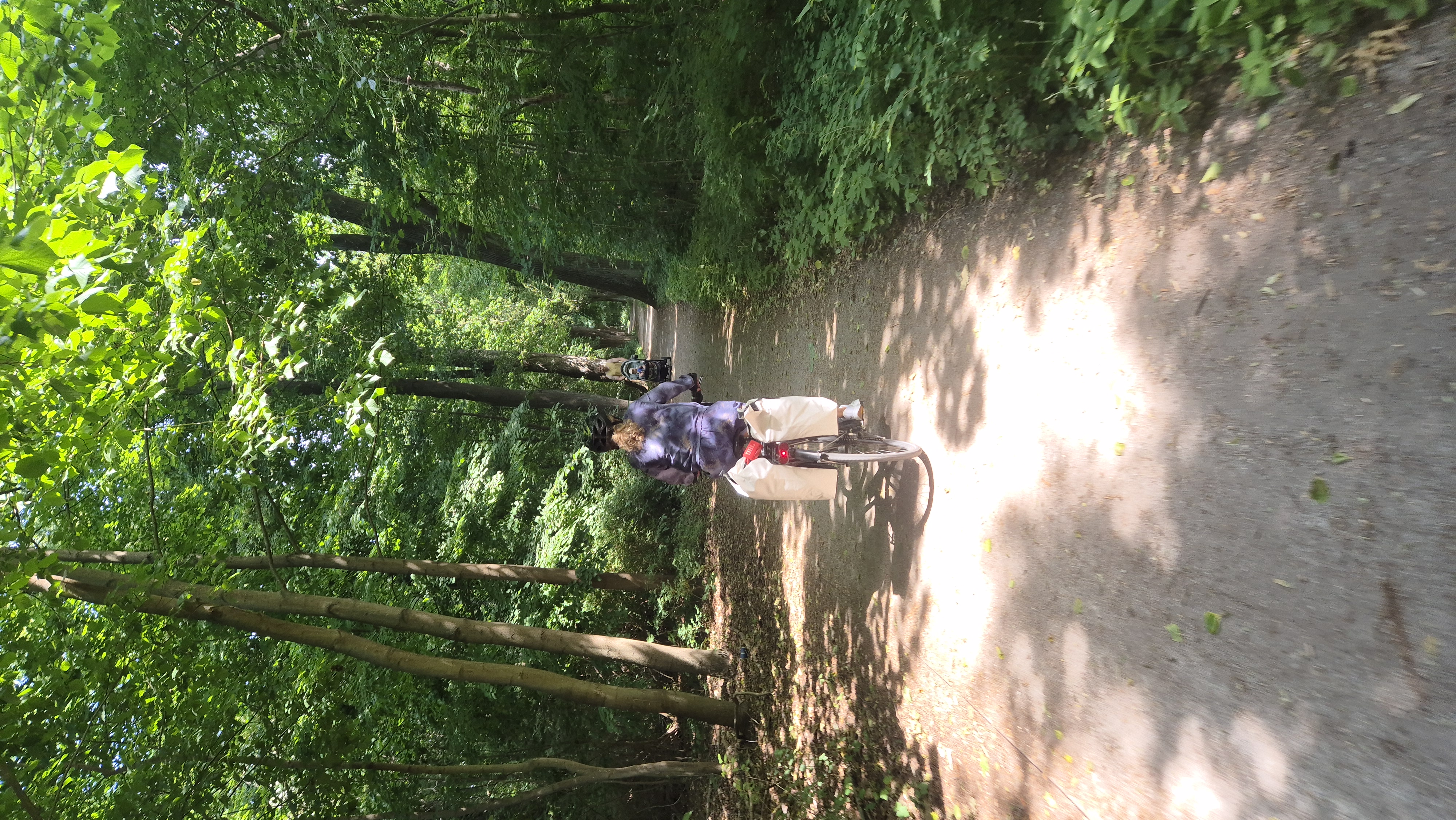
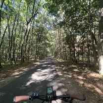
The route begins with the Berlin-Copenhagen cycle path, switches before Liebenwalde to the towing path along the Finow Canal, and near Prenden uses the Berlin-Usedom cycle path to return to Bernau.
- -:--
- Duration
- 61 km
- Distance
- 131 m
- Ascent
- 99 m
- Descent
- ---
- Avg. speed
- ---
- Max. altitude
baburen
created this 10 years ago
Route quality
Waytypes & surfaces along the route
Waytypes
Track
18.9 km
(31 %)
Path
17.1 km
(28 %)
Surfaces
Paved
50.6 km
(83 %)
Unpaved
4.9 km
(8 %)
Asphalt
50.6 km
(83 %)
Loose gravel
1.8 km
(3 %)
Continue with Bikemap
Use, edit, or download this cycling route
You would like to ride Wald Finow Wald or customize it for your own trip? Here is what you can do with this Bikemap route:
Free features
- Save this route as favorite or in collections
- Copy & plan your own version of this route
- Sync your route with Garmin or Wahoo
Premium features
Free trial for 3 days, or one-time payment. More about Bikemap Premium.
- Navigate this route on iOS & Android
- Export a GPX / KML file of this route
- Create your custom printout (try it for free)
- Download this route for offline navigation
Discover more Premium features.
Get Bikemap PremiumFrom our community
Other popular routes starting in Oranienburg
- Straße der Einheit, Oranienburg nach Brandenburger Straße, Fürstenberg/Havel
- Usedom
- 210.3 km
- 256 m
- 288 m
- Oranienburg, Brandenburg, Germany
- 2015-09-15 Oranienburg-Liebenwalde
- 42.9 km
- 89 m
- 88 m
- Oranienburg, Brandenburg, Germany
- Nussroute_Neuruppin bis Löwenberger Land
- 49.7 km
- 155 m
- 148 m
- Oranienburg, Brandenburg, Germany
- Oranienburg Zehdnick
- 36.3 km
- 68 m
- 77 m
- Oranienburg, Brandenburg, Germany
- 15.09.13 Oranienburg <> Liebenberg
- 38.2 km
- 113 m
- 112 m
- Oranienburg, Brandenburg, Germany
- Wald Finow Wald
- 61 km
- 131 m
- 99 m
- Oranienburg, Brandenburg, Germany
- Bernauer Straße, Oranienburg nach Hanns-Krause-Weg, Stechlin
- 58.6 km
- 169 m
- 135 m
- Oranienburg, Brandenburg, Germany
Open it in the app


