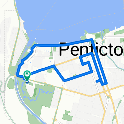
Lakeside Rd, Penticton to Lakeside Rd, Penticton
- 29.7 km
- 369 m
- 370 m
- Penticton, British Columbia, Canada
A cycling route starting in Penticton, British Columbia, Canada.
Overview
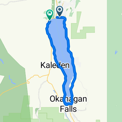
We take nice flat warm up route along Okanagan Lake and Highway 97 until we get to lower Summerland, then we start our long climb up to Camp Boyle in the Okanagan Highlands. After Camp Boyle, we turn around for the long descent back to the orchards and vineyards of Summerland. On the way out we make a stop for coffee at Good Omen's in Summerland, and on the way back we stop for ice cream at Summerland Sweets. Wine tasting stops include Dirty Laundry and Silk Scarf Wineries.
created this 10 years ago
Route highlights
Good Omen's Coffee
Kettle Valley Steam Train
Camp Boyle (turnaround point)
Dirty Laundry Winery
Summerland Sweets
Silk Scarf Winery
Continue with Bikemap
You would like to ride P - M - Summerland and Camp Boyle or customize it for your own trip? Here is what you can do with this Bikemap route:
Free trial for 3 days, or one-time payment. More about Bikemap Premium.
Discover more Premium features.
Get Bikemap PremiumFrom our community
Open it in the app