DOTs-south
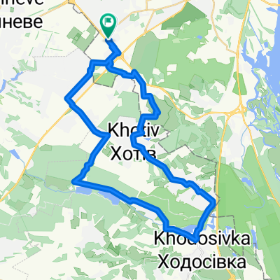
A cycling route starting in Chabany, Kyiv Oblast, Ukraine.
Overview
About this route
southern DOTs of WW II
- -:--
- Duration
- 43.6 km
- Distance
- 305 m
- Ascent
- 306 m
- Descent
- ---
- Avg. speed
- ---
- Max. altitude
Route highlights
Points of interest along the route
Point of interest after 12 km
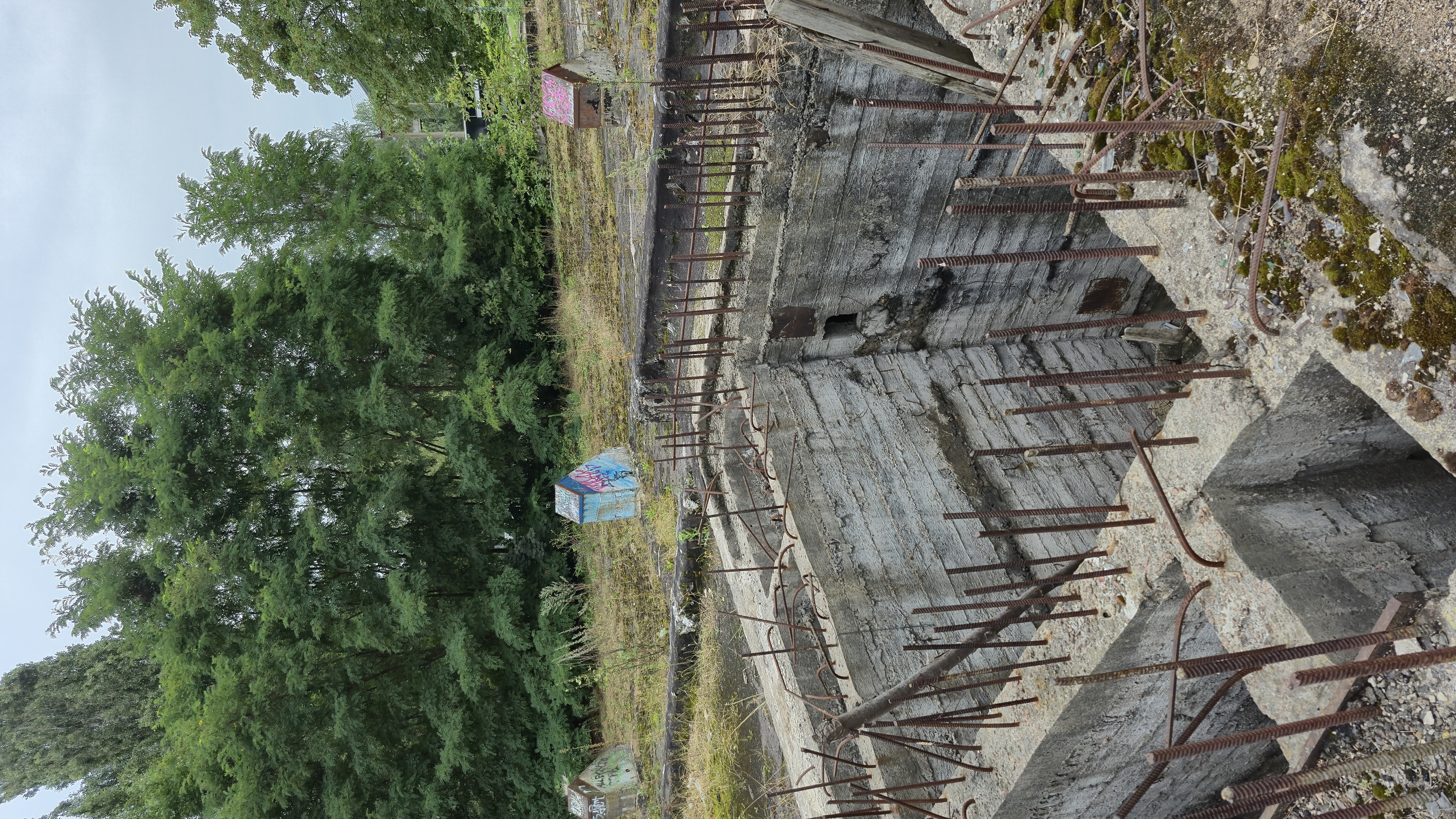
DOT 151
Point of interest after 12.7 km
1. Unfinished Railway bridge. 2. Field of wild marijuana :-)
Point of interest after 14.8 km
DOT135 (destroyed)
Point of interest after 16.3 km
Tunnel
Point of interest after 17.7 km
DOT127 (destroyed), in woter
Point of interest after 19.4 km
DOT128 (destroyed)
Point of interest after 20.1 km
DOT130 (destroyed)
Point of interest after 23.6 km
Snake Shafts
Point of interest after 24.4 km
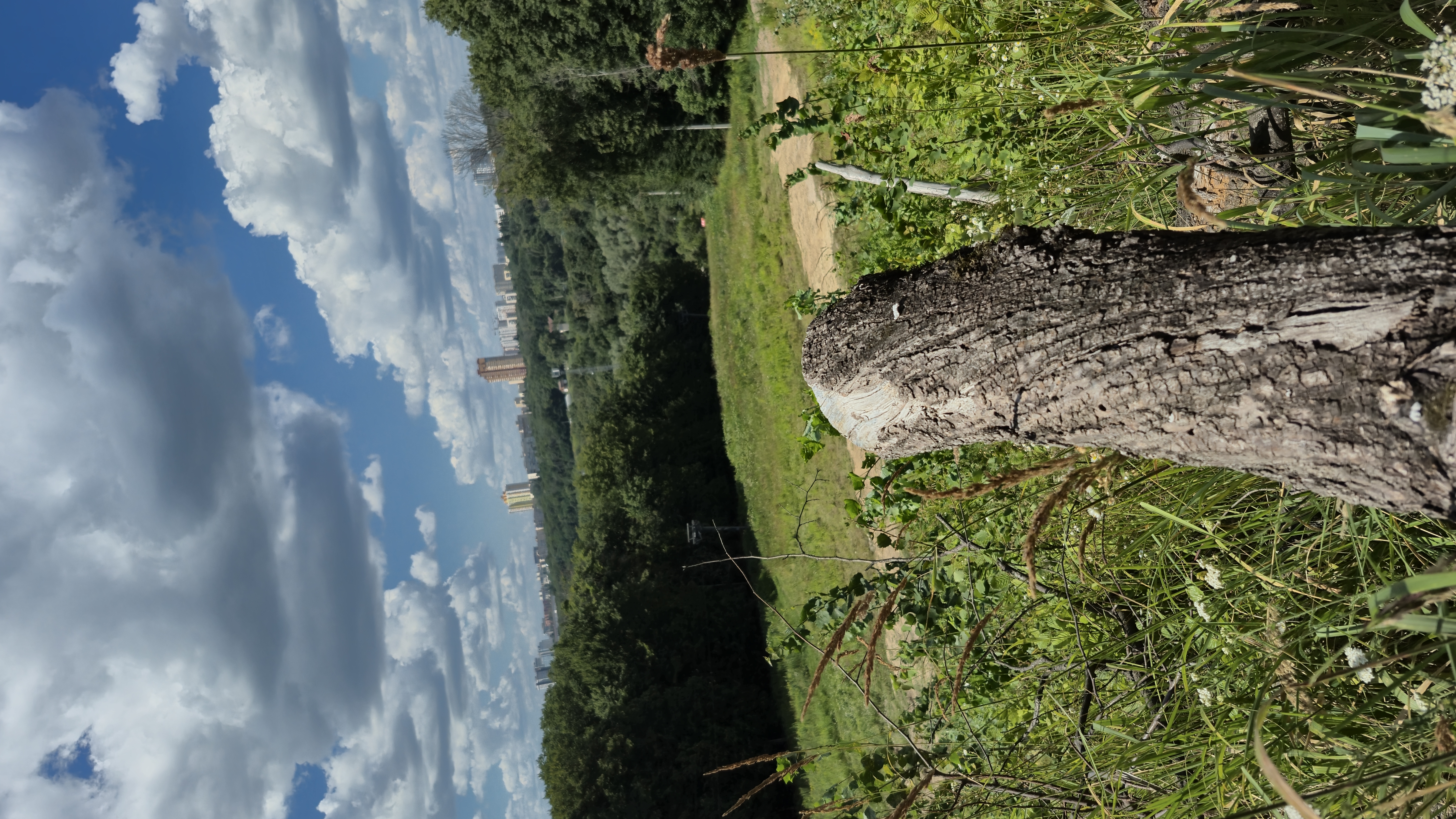
Downhill!
Point of interest after 26.9 km
DOT152 (Whole)
Point of interest after 29.4 km
DOT154 ((destroyed))
Point of interest after 30.9 km
DOT176 (destroyed)
Point of interest after 31.1 km
DOT177 (destroyed)
Point of interest after 32.2 km
DOT187.whole
Point of interest after 32.9 km
DOT-Castle
Point of interest after 33.7 km
DOT180. Whole
Continue with Bikemap
Use, edit, or download this cycling route
You would like to ride DOTs-south or customize it for your own trip? Here is what you can do with this Bikemap route:
Free features
- Save this route as favorite or in collections
- Copy & plan your own version of this route
- Sync your route with Garmin or Wahoo
Premium features
Free trial for 3 days, or one-time payment. More about Bikemap Premium.
- Navigate this route on iOS & Android
- Export a GPX / KML file of this route
- Create your custom printout (try it for free)
- Download this route for offline navigation
Discover more Premium features.
Get Bikemap PremiumFrom our community
Other popular routes starting in Chabany
 Голосеевские спуски
- Distance
- 22.1 km
- Ascent
- 360 m
- Descent
- 306 m
- Location
- Chabany, Kyiv Oblast, Ukraine
 Ул. Маршала Конева - ВДНГ
- Distance
- 73.9 km
- Ascent
- 912 m
- Descent
- 900 m
- Location
- Chabany, Kyiv Oblast, Ukraine
 Route to Zolotoniska Street 19, Kyiv
- Distance
- 11.6 km
- Ascent
- 34 m
- Descent
- 97 m
- Location
- Chabany, Kyiv Oblast, Ukraine
 От вулиця Степана Рудницького до вулиця Степана Рудницького 3a
- Distance
- 22.2 km
- Ascent
- 413 m
- Descent
- 407 m
- Location
- Chabany, Kyiv Oblast, Ukraine
 Kyiv-Khotiv-Lisniki-Kruhlyk-Chabany-Hatne Training
- Distance
- 38.2 km
- Ascent
- 242 m
- Descent
- 242 m
- Location
- Chabany, Kyiv Oblast, Ukraine
 От вулиця Юлії Здановської до вулиця Тарасівська
- Distance
- 9.5 km
- Ascent
- 64 m
- Descent
- 98 m
- Location
- Chabany, Kyiv Oblast, Ukraine
 Теремки - Китаев
- Distance
- 8.1 km
- Ascent
- 124 m
- Descent
- 135 m
- Location
- Chabany, Kyiv Oblast, Ukraine
 думаю для первого раза нормально
- Distance
- 28.5 km
- Ascent
- 372 m
- Descent
- 367 m
- Location
- Chabany, Kyiv Oblast, Ukraine
Open it in the app

